35 Wavertree Nook Road, Liverpool, L15 7LE
About 35 Wavertree Nook Road
35 Wavertree Nook Road is a four-bedroom semi-detached house in Liverpool (L15 7LE). It has a recorded floor area of 147 m² (around 1582 sq ft), construction records dating it to 1900-1929 and council tax band C. The latest certificate (August 2023) shows a D (score 62), on the cusp of jumping into the C band. When first surveyed in August 2011 the rating was G, the property has climbed 3 bands since. Between certificates, wall efficiency went from Very Poor to Good, window efficiency went from Very Poor to Good and hot-water efficiency went from Very Poor to Good; while roof efficiency dropped from Average to Very Poor. The recommended improvements would lift it to B (score 82), a 2-band jump.
At 147 m² the property is well over the postcode median (109 m² across 9 EPCs), placing it in the larger end of the local stock. Across 2012–2017, sale prices on this property compounded at 9.3% per year. Today's modelled estimate of £448,000 sits 56.1% above the 2017 sale of £287,000. On a £-per-square-foot basis, the last sale (£181/sq ft) was about 25.9% below the postcode norm. Last sold in February 2017, so it's been off the market for around 9 years. 5 planning records sit against the property, 1 approved, 3 refused.
Know exactly what you're buying at 35 Wavertree Nook Road
Before you offer, see what the listing won't tell you, the true value, the red flags and the full history.
Valuation
against the asking price
Risks
planning & flood
Sold prices
similar homes nearby
Trends
the local market
What this property has
Inside
- Bedrooms4
- Bathrooms2
- Open-plan layoutYes
- Dining roomYes
- Utility roomYes
- CloakroomYes
- EnsuiteYes
Outside
- GarageYes
Building
- Heating systemElectric
Energy performance
35 Wavertree Nook Road's carbon output runs well above what efficient homes in the postcode produce.
EPC Rating
Property Improvements
Changes detected from historical EPC data
Upgraded to gas central heating
Hot water system upgraded
Single glazing replaced with double or better glazing
Wall insulation improved
More low energy lighting installed
Planning history
- May 2020RenovationFullIn report
To part retain/part layout hardstanding at the front.
Retrospective- Documents
- 13 docs on file
- Reference
- 20H/1346
- Feb 2020ConditionsIn report
To discharge condition 3 attached to APP/Z4310/D/19/3222898 .
- Documents
- 8 docs on file
- Reference
- 20DIS/0526
What's in 35 Wavertree Nook Road, Liverpool, L15 7LE's planning history?
3 more on this property, plus refusals, disputes and full decisions nearby, in the report.
Sales history & valuation
35 Wavertree Nook Road valuation sits well clear of the typical sold price in this postcode.
£448,000
Modelled from EPC, postcode comparables and a sale-price growth of 9.3% per year over 5 years.
£287,000
Growth on file: 9.3% per year over 5 years.
Sales timeline
24 February 2017Most recent
£287,000
+56.8%over 5 years26 January 2012
£183,000
Median price across the last 5 sales in L15 7LE: £345,000 (2024–2018).
Nearby sales in L15 7LE
1 Wavertree Nook Road, Liverpool, L15 7LE
Sold Jul 2024
£439,00025 Wavertree Nook Road, Liverpool, L15 7LE
Sold Jun 2024
£345,0003 Wavertree Nook Road, Liverpool, L15 7LE
Sold Feb 2022
£417,00011 Wavertree Nook Road, Liverpool, L15 7LE
Sold May 2020
£330,0005 Wavertree Nook Road, Liverpool, L15 7LE
Sold Nov 2017
£305,000
Everything we know about 35 Wavertree Nook Road, in one report
What it's really worth, what could be wrong, and the planning, sales and area data in full.
- Am I paying too much?
- Is something wrong with it?
- Is the agent's story true?
- Will it hold its value?

Versus other Wavertree Nook Road homes
Price per m² for 35 Wavertree Nook Road lags the street by a wide margin.
Price per m²
£1,952
Street avg £3,026
Floor Area
147 m²
Street avg 106 m²
Habitable Rooms
5 rooms
Street avg 6 rooms
CO₂ Emissions
6.3 t/year
Street avg 5.1 t/year
Similar properties nearby
The neighbourhood at a glance
Reported crime in the wider district is trending notably upward year-on-year.
Crime
6/mo
Rising year-on-year across the wider district.
Nearest stop
0.2 km
Westway — bus stop.
Closest school
0.3 km
Christ The King Catholic Primary School. 53 schools nearby.
Go deeper on the local area
The full report breaks down crime, transport links, schools and air quality in depth.
Road noise across the postcode
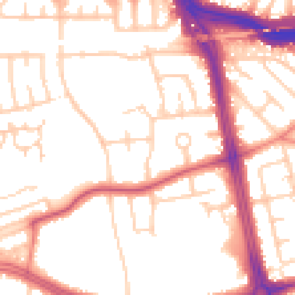
Daytime· 07:00 – 23:00
52.9dB

Night-time· 23:00 – 07:00
43.9dB