16 Hudleston Road, Liverpool, L15 7JS
About 16 Hudleston Road
16 Hudleston Road is a three-bedroom end-of-terrace house in Liverpool (L15 7JS). It has a recorded floor area of 82 m² (around 883 sq ft), construction records dating it to 1930-1949 and council tax band A. The latest certificate (April 2017) shows a D (score 56), a step below the typical UK home. The recommended improvements would push it to C (score 80).
Today's modelled estimate of £219,000 sits 71.1% above the 2017 sale of £128,000. On the market in June 2017 and unlisted since — roughly 9 years.
Know exactly what you're buying at 16 Hudleston Road
Before you offer, see what the listing won't tell you, the true value, the red flags and the full history.
Valuation
against the asking price
Risks
planning & flood
Sold prices
similar homes nearby
Trends
the local market
What this property has
Inside
- Bedrooms3
- Bathrooms1
Outside
- Private gardenYes
Building
- Central heatingYes
Energy performance
EPC Rating
Planning history
16 Hudleston Road has no planning applications on record.
The full report still covers planning activity across the surrounding area.
Sales history & valuation
16 Hudleston Road valuation sits well clear of the typical sold price in this postcode.
£219,000
Modelled from EPC, postcode comparables.
£128,000
Recorded with HM Land Registry.
Sales timeline
26 June 2017Most recent
£128,000
Median price across the last 5 sales in L15 7JS: £142,500 (2024–2014).
Nearby sales in L15 7JS
Everything we know about 16 Hudleston Road, in one report
What it's really worth, what could be wrong, and the planning, sales and area data in full.
- Am I paying too much?
- Is something wrong with it?
- Is the agent's story true?
- Will it hold its value?

Versus other Hudleston Road homes
EPC Rating for 16 Hudleston Road lags the street by a wide margin.
Price per m²
£1,561
Street avg £1,843
Floor Area
82 m²
Street avg 78 m²
Habitable Rooms
5 rooms
Street avg 4 rooms
CO₂ Emissions
4.6 t/year
Street avg 2.9 t/year
Similar properties nearby
The neighbourhood at a glance
Reported crime in the wider district is trending notably upward year-on-year.
Crime
6/mo
Rising year-on-year across the wider district.
Nearest stop
0.3 km
Waldgrave Road — bus stop.
Closest school
0.1 km
King's Northway Primary Academy. 58 schools nearby.
Go deeper on the local area
The full report breaks down crime, transport links, schools and air quality in depth.
Road noise across the postcode
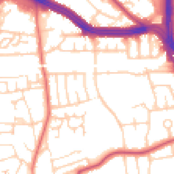
Daytime· 07:00 – 23:00
53.1dB
Night-time· 23:00 – 07:00
43.4dB