19 Waldgrave Road, Liverpool, L15 7JL
About 19 Waldgrave Road
19 Waldgrave Road is a semi-detached house in Liverpool (L15 7JL). It has a recorded floor area of 78 m² (around 840 sq ft), construction records dating it to 1950-1966 and council tax band A. The latest certificate (December 2021) shows an E (score 40), well below the UK norm with real room to improve. The recommended improvements would lift it to B (score 88), a 3-band jump. Main heating runs on to be used only when there is no heating/hot.
It lags the bulk of the postcode on energy efficiency (less efficient than 85% of similar EPCs). On a £-per-square-foot basis, the last sale (£197/sq ft) was about 46.4% above the typical sold price in the postcode. Last sale on file: £165,000 in July 2022. That sale was during the post-pandemic price surge, when transactions cleared materially above pre-2020 trend.
Know exactly what you're buying at 19 Waldgrave Road
Before you offer, see what the listing won't tell you, the true value, the red flags and the full history.
Valuation
against the asking price
Risks
planning & flood
Sold prices
similar homes nearby
Trends
the local market
Energy performance
Recommended upgrades on file would lift this property by multiple EPC bands.
EPC Rating
Planning history
19 Waldgrave Road has no planning applications on record.
The full report still covers planning activity across the surrounding area.
Sales history & valuation
The latest sale landed in the post-pandemic price surge — useful context when reading the figure.
£181,000
Modelled from EPC, postcode comparables.
£165,000
Recorded with HM Land Registry.
Sales timeline
28 July 2022Most recent
£165,000
Median price across the last 5 sales in L15 7JL: £170,000 (2025–2020).
Nearby sales in L15 7JL
Everything we know about 19 Waldgrave Road, in one report
What it's really worth, what could be wrong, and the planning, sales and area data in full.
- Am I paying too much?
- Is something wrong with it?
- Is the agent's story true?
- Will it hold its value?

Versus other Waldgrave Road homes
19 Waldgrave Road is notably below the street on epc rating.
Price per m²
£2,115
Street avg £1,595
Floor Area
78 m²
Street avg 83 m²
Habitable Rooms
5 rooms
Street avg 4 rooms
CO₂ Emissions
4.4 t/year
Street avg 3.5 t/year
Similar properties nearby
The neighbourhood at a glance
Reported crime in the wider district is trending notably upward year-on-year.
Crime
6/mo
Rising year-on-year across the wider district.
Nearest stop
0.2 km
Waldgrave Road — bus stop.
Closest school
0.2 km
King's Northway Primary Academy. 59 schools nearby.
Go deeper on the local area
The full report breaks down crime, transport links, schools and air quality in depth.
Road noise across the postcode
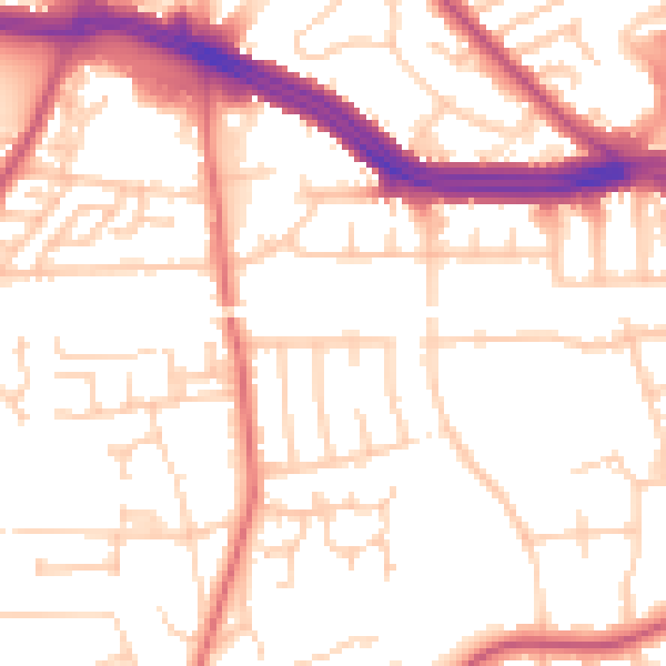
Daytime· 07:00 – 23:00
53.1dB

Night-time· 23:00 – 07:00
43.4dB