24 Nook Rise, Liverpool, L15 7JB
About 24 Nook Rise
24 Nook Rise is a property in Liverpool (L15 7JB). It has council tax band C.
Held since December 2003 — that's 22 years off the open market, well above the local norm. 3 planning records sit against the property, 3 approved, 0 refused. Past consents include tree works, meaningful when judging how the property has evolved. Across 1995–2003, sale prices on this property compounded at 106.4% per year.
Know exactly what you're buying at 24 Nook Rise
Before you offer, see what the listing won't tell you, the true value, the red flags and the full history.
Valuation
against the asking price
Risks
planning & flood
Sold prices
similar homes nearby
Trends
the local market
Energy performance
No EPC on record
This property doesn't have an Energy Performance Certificate yet. An EPC is required to sell or let — and unlocks our automated valuation.
Planning history
Planning history at 24 Nook Rise is exclusively tree-management applications — typical for a property with mature trees on or near the plot.
- Aug 2022
- Jul 2018Tree WorksTreesIn report
To carry out tree works
- Documents
- 9 docs on file
- Reference
- 18T/1800
What's in 24 Nook Rise, Liverpool, L15 7JB's planning history?
1 more on this property, plus refusals, disputes and full decisions nearby, in the report.
Sales history & valuation
24 Nook Rise has more than quadrupled in price since its earliest registered sale in 1995.
£127,100
Growth on file: 106.4% per year over 8 years.
Sales timeline
19 December 2003Most recent
£127,100
+36214.3%over 8 years31 October 1995
£350
Median price across the last 5 sales in L15 7JB: £280,500 (2025–2024).
Everything we know about 24 Nook Rise, in one report
What it's really worth, what could be wrong, and the planning, sales and area data in full.
- Am I paying too much?
- Is something wrong with it?
- Is the agent's story true?
- Will it hold its value?

Similar properties nearby
The neighbourhood at a glance
Reported crime in the wider district is trending notably upward year-on-year.
Crime
6/mo
Rising year-on-year across the wider district.
Nearest stop
0.2 km
Westway — bus stop.
Closest school
0.3 km
King's Northway Primary Academy. 54 schools nearby.
Go deeper on the local area
The full report breaks down crime, transport links, schools and air quality in depth.
Road noise across the postcode
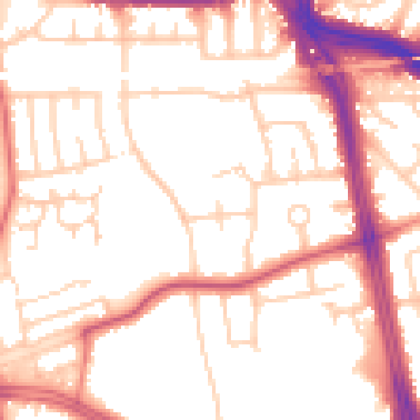
Daytime· 07:00 – 23:00
53.0dB

Night-time· 23:00 – 07:00
43.8dB