12 Nook Rise, Liverpool, L15 7JB
About 12 Nook Rise
12 Nook Rise is a three-bedroom end-of-terrace house in Liverpool (L15 7JB). It has a recorded floor area of 156 m² (around 1679 sq ft), construction records dating it to 1900-1929 and council tax band C. The latest certificate (August 2021) shows a D (score 57), a step below the typical UK home. The recommended improvements would lift it to B (score 84), a 2-band jump.
At 156 m² the property is well over the postcode median (73 m² across 40 EPCs), placing it in the larger end of the local stock. Today's modelled estimate of £431,000 is 11.7% above the 2022 sale price. Most recent transfer: August 2022 at £386,000. That sale was during the post-pandemic price surge, when transactions cleared materially above pre-2020 trend.
Know exactly what you're buying at 12 Nook Rise
Before you offer, see what the listing won't tell you, the true value, the red flags and the full history.
Valuation
against the asking price
Risks
planning & flood
Sold prices
similar homes nearby
Trends
the local market
What this property has
Inside
- Bedrooms3
- Bathrooms1
Energy performance
12 Nook Rise's carbon output runs well above what efficient homes in the postcode produce.
EPC Rating
Planning history
12 Nook Rise has no planning applications on record.
The full report still covers planning activity across the surrounding area.
Sales history & valuation
Latest sale on 12 Nook Rise was the highest on Land Registry record across the postcode.
£431,000
Modelled from EPC, postcode comparables.
£386,000
Recorded with HM Land Registry.
Sales timeline
25 August 2022Most recent
£386,000
Median price across the last 5 sales in L15 7JB: £280,500 (2025–2024).
Everything we know about 12 Nook Rise, in one report
What it's really worth, what could be wrong, and the planning, sales and area data in full.
- Am I paying too much?
- Is something wrong with it?
- Is the agent's story true?
- Will it hold its value?

Versus other Nook Rise homes
12 Nook Rise outperforms the street on floor area by a wide margin.
Price per m²
£2,474
Street avg £2,788
Floor Area
156 m²
Street avg 79 m²
Habitable Rooms
7 rooms
Street avg 4 rooms
CO₂ Emissions
7.7 t/year
Street avg 4.3 t/year
Similar properties nearby
The neighbourhood at a glance
Reported crime in the wider district is trending notably upward year-on-year.
Crime
6/mo
Rising year-on-year across the wider district.
Nearest stop
0.2 km
Westway — bus stop.
Closest school
0.3 km
King's Northway Primary Academy. 54 schools nearby.
Go deeper on the local area
The full report breaks down crime, transport links, schools and air quality in depth.
Road noise across the postcode
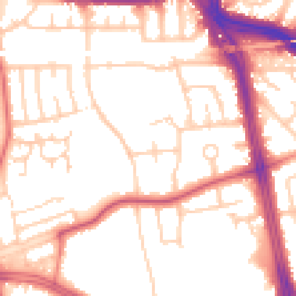
Daytime· 07:00 – 23:00
53.0dB

Night-time· 23:00 – 07:00
43.8dB