43 Bishopgate Street, Liverpool, L15 1EN
About 43 Bishopgate Street
43 Bishopgate Street is a one-bedroom end-of-terrace house in Liverpool (L15 1EN). It has a recorded floor area of 103 m² (around 1109 sq ft), construction records dating it to 1900-1929 and council tax band A. The latest certificate (March 2023) shows a C (score 70). When first surveyed in February 2010 the rating was E, the property has climbed 2 bands since. Between certificates, wall efficiency went from Very Poor to Good, window efficiency went from Average to Good and lighting went from Poor to Very Good; while roof efficiency dropped from Average to Very Poor. The recommended improvements would push it to B (score 81).
At 103 m² the property is well over the postcode median (71 m² across 51 EPCs), placing it in the larger end of the local stock. Across 2002–2012, sale prices on this property compounded at 12.4% per year. Today's modelled estimate of £152,000 is 35.7% above the 2012 sale price. On a £-per-square-foot basis, the last sale (£101/sq ft) was about 39% above the typical sold price in the postcode. Last changed hands 14 years ago, in February 2012.
Know exactly what you're buying at 43 Bishopgate Street
Before you offer, see what the listing won't tell you, the true value, the red flags and the full history.
Already flagged here
Valuation
against the asking price
Risks
planning & flood
Sold prices
similar homes nearby
Trends
the local market
What this property has
Inside
- Bedrooms1
- Bathrooms1
- CloakroomYes
- EnsuiteYes
Outside
- Private gardenYes
Building
- RefurbishedYes
Energy performance
EPC Rating
Property Improvements
Changes detected from historical EPC data
Heating controls changed
Window efficiency improved
Cavity wall insulation installed
Loft insulation upgraded to recommended levels
Heating controls upgraded for better temperature management
Window efficiency improved
Wall insulation improved
More low energy lighting installed
Planning history
43 Bishopgate Street has no planning applications on record.
Notable planning nearby
30applications of note in the surrounding area
We flagged 1 thing worth checking at 43 Bishopgate Street
Independent checks surfaced things a buyer would want to understand before offering. The report explains each one in full, with the underlying data and what to ask.
- Signs of HMO activity in the area
30-day money-back guarantee
Sales history & valuation
Sale price has grown by over 3x since 2002.
£152,000
Modelled from EPC, postcode comparables and a sale-price growth of 12.4% per year over 10 years.
£112,000
Growth on file: 12.4% per year over 10 years.
Sales timeline
17 February 2012Most recent
£112,000
+47.4%over 9 years18 November 2002
£76,000
+117.1%over 9 months22 February 2002
£35,000
Median price across the last 5 sales in L15 1EN: £97,000 (2024–2019).
Nearby sales in L15 1EN
117 Bishopgate Street, Liverpool, L15 1EN
Sold May 2024
£101,00093 Bishopgate Street, Liverpool, L15 1EN
Sold May 2022
£98,000101 Bishopgate Street, Liverpool, L15 1EN
Sold Nov 2020
£56,50085 Bishopgate Street, Liverpool, L15 1EN
Sold Aug 2019
£97,00045 Bishopgate Street, Liverpool, L15 1EN
Sold Feb 2016
£190,000
Everything we know about 43 Bishopgate Street, in one report
What it's really worth, what could be wrong, and the planning, sales and area data in full.
What we flagged
- Signs of HMO activity in the area

Versus other Bishopgate Street homes
On floor area, 43 Bishopgate Street stands well clear of the street.
Price per m²
£1,087
Street avg £874
Floor Area
103 m²
Street avg 70 m²
Habitable Rooms
6 rooms
Street avg 4 rooms
CO₂ Emissions
3.6 t/year
Street avg 2.6 t/year
Similar properties nearby
1 Pengwern Grove
L15 1HJ
1 Ashfield
L15 1EY
10 Jesmond Street
L15 1EX
1 3, Plumer Street
L15 1EE
10 Methuen Street
L15 1EG
10 Macdonald Street
L15 1EL
1 Pilot Grove
L15 1HD
10 Broadwood Street
L15 1EH
The neighbourhood at a glance
Reported crime in the wider district is trending notably upward year-on-year.
Crime
6/mo
Rising year-on-year across the wider district.
Nearest stop
0.2 km
Picton Crescent — bus stop.
Closest school
0.3 km
Lawrence Community Primary School. 64 schools nearby.
Go deeper on the local area
The full report breaks down crime, transport links, schools and air quality in depth.
Road noise across the postcode
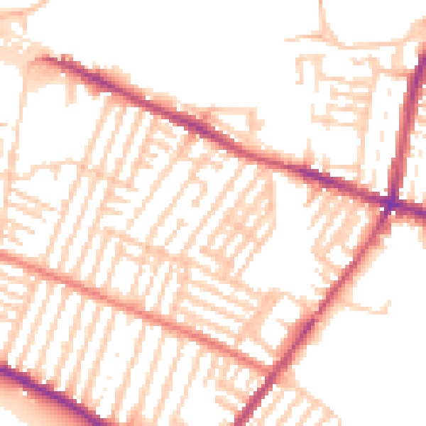
Daytime· 07:00 – 23:00
52.1dB

Night-time· 23:00 – 07:00
41.6dB