19 Liberty Street, Liverpool, L15 0ET
About 19 Liberty Street
19 Liberty Street is a mid-terrace house in Liverpool (L15 0ET). It has a recorded floor area of 54 m² (around 581 sq ft), construction records dating it to before 1900 and council tax band A. The latest certificate (February 2026) shows a C (score 73). When first surveyed in June 2015 the rating was D, the property has climbed 1 band since. Between certificates, wall efficiency went from Very Poor to Good and roof efficiency went from Very Poor to Very Good; while window efficiency dropped from Good to Poor and lighting dropped from Very Good to Good. This certificate was lodged in the last six months, so the rating reflects current condition.
Untraded for 20 years, with the last transfer in January 2006. Today's modelled estimate of £109,000 sits 118% above the 2006 sale of £50,000. On a £-per-square-foot basis, the last sale (£86/sq ft) was about 15.4% below the postcode norm. At 54 m² it sits well below the postcode median (82 m² across 26 EPCs), making it one of the more compact homes locally.
Know exactly what you're buying at 19 Liberty Street
Before you offer, see what the listing won't tell you, the true value, the red flags and the full history.
Already flagged here
Valuation
against the asking price
Risks
planning & flood
Sold prices
similar homes nearby
Trends
the local market
Energy performance
The EPC has just been inspected, so the rating reflects current condition.
EPC Rating
Property Improvements
Changes detected from historical EPC data
Heating controls upgraded for better temperature management
Wall insulation improved
Loft insulation installed or upgraded to 250mm+
Planning history
19 Liberty Street has no planning applications on record.
Notable planning nearby
39applications of note in the surrounding area
We flagged 1 thing worth checking at 19 Liberty Street
Independent checks surfaced things a buyer would want to understand before offering. The report explains each one in full, with the underlying data and what to ask.
- Signs of HMO activity in the area
30-day money-back guarantee
Sales history & valuation
19 Liberty Street valuation sits well clear of the typical sold price in this postcode.
£109,000
Modelled from EPC, postcode comparables.
£50,000
Recorded with HM Land Registry.
Sales timeline
25 January 2006Most recent
£50,000
Median price across the last 5 sales in L15 0ET: £156,500 (2024–2019).
Nearby sales in L15 0ET
Everything we know about 19 Liberty Street, in one report
What it's really worth, what could be wrong, and the planning, sales and area data in full.
What we flagged
- Signs of HMO activity in the area

Versus other Liberty Street homes
CO₂ Emissions for 19 Liberty Street runs comfortably ahead of the street norm.
Price per m²
£926
Street avg £1,199
Floor Area
54 m²
Street avg 77 m²
Habitable Rooms
3 rooms
Street avg 5 rooms
CO₂ Emissions
1.8 t/year
Street avg 2.7 t/year
Similar properties nearby
The neighbourhood at a glance
Reported crime in the wider district is trending notably upward year-on-year.
Crime
6/mo
Rising year-on-year across the wider district.
Nearest stop
0.1 km
Liberty Street — bus stop.
Closest school
0.3 km
Lawrence Community Primary School. 60 schools nearby.
Go deeper on the local area
The full report breaks down crime, transport links, schools and air quality in depth.
Road noise across the postcode
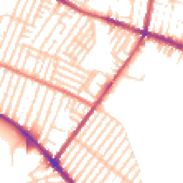
Daytime· 07:00 – 23:00
52.0dB

Night-time· 23:00 – 07:00
41.6dB