Apartment 6, 16 Knight Street, Liverpool, L1 9DS
About Apartment 6
Apartment 6 is a two-bedroom mid-terrace house in Liverpool (L1 9DS). It has a recorded floor area of 85 m² (around 915 sq ft), construction records dating it to 2007-2011 and council tax band D. The latest certificate (February 2022) shows a C (score 70). When first surveyed in October 2010 the rating was D, the property has climbed 1 band since. The recommended improvements would push it to B (score 86). Main heating runs on electricity.
Across 2007–2024, sale prices on this property compounded at -3.4% per year. Today's modelled estimate of £319,000 sits 93.3% above the 2024 sale of £165,000. On a £-per-square-foot basis, the last sale (£180/sq ft) was about 38.7% below the postcode norm. Most recent transfer: October 2024 at £165,000.
What this property has
Inside
- Bedrooms2
- Bathrooms2
Everything you need to know about Apartment 6
The true value, the hidden risks and the full sale history, in one report.
30-day money-back guarantee

The data behind every report


Energy performance
EPC Rating
Property Improvements
Changes detected from historical EPC data
More low energy lighting installed
Planning history
Apartment 6 has no planning applications on record.
Notable planning nearby
4applications of note in the surrounding area
We flagged 1 thing worth checking at Apartment 6
Independent checks surfaced things a buyer would want to understand before offering. The report explains each one in full, with the underlying data and what to ask.
- Signs of HMO activity in the area
30-day money-back guarantee
Sales history & valuation
Apartment 6's sale-price growth has lagged the wider UK trajectory across its history on file.
£319,000
Modelled from EPC, postcode comparables and a sale-price growth of -3.4% per year over 17 years.
£165,000
Growth on file: -3.4% per year over 17 years.
Sales timeline
17 October 2024Most recent
£165,000
-44.1%over 16 years22 October 2007
£295,295
Median price across the last 5 sales in L1 9DS: £215,000 (2024–2020).
Nearby sales in L1 9DS
Apartment 8, 18 Knight Street, Liverpool, L1 9DS
Sold Oct 2024
£215,00020 Knight Street, Liverpool, L1 9DS
Sold Aug 2023
£330,000Apartment 1, 16 Knight Street, Liverpool, L1 9DS
Sold Jul 2023
£200,00010 Knight Street, Liverpool, L1 9DS
Sold Oct 2022
£750,000Apartment 4, 16 Knight Street, Liverpool, L1 9DS
Sold Nov 2020
£141,000
Everything you need to know about Apartment 6
The true value, the hidden risks and the full sale history, in one report.
30-day money-back guarantee
The data behind every report
Similar properties nearby
1a, Flat 8, Rodney Street
L1 9ED
1a, Flat 10, Rodney Street
L1 9ED
1a, Flat 3, Rodney Street
L1 9ED
1a, Flat 9, Rodney Street
L1 9ED
1a, Flat 1, Rodney Street
L1 9ED
1a, Flat 5, Rodney Street
L1 9ED
1a, Flat 7, Rodney Street
L1 9ED
1a, Flat 4, Rodney Street
L1 9ED
The neighbourhood at a glance
Reported crime in the wider district is trending notably upward year-on-year.
Crime
15/mo
Rising year-on-year across the wider district.
Nearest stop
0.1 km
Roscoe Street — bus stop.
Closest school
0.1 km
LIPA School. 42 schools nearby.
Go deeper on the local area
The full report breaks down crime, transport links, schools and air quality in depth.
Road noise across the postcode
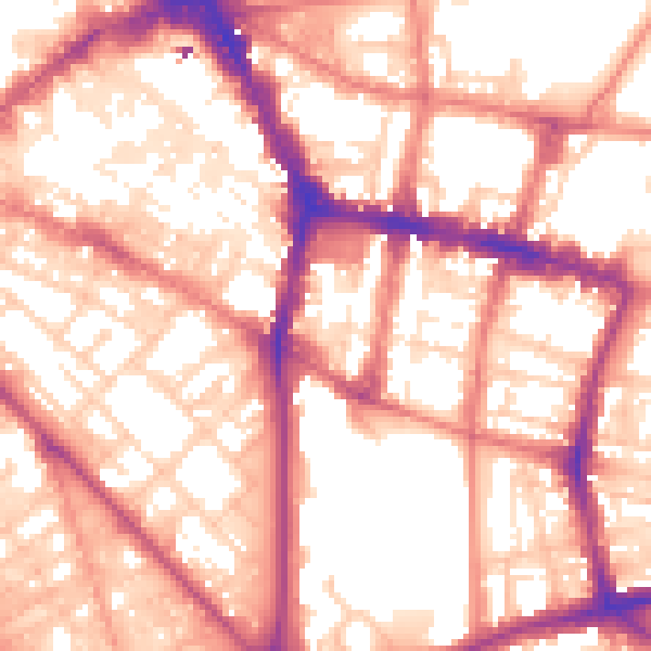
Daytime· 07:00 – 23:00
57.0dB

Night-time· 23:00 – 07:00
46.2dB