Flat 59, 42 Simpson Street, Liverpool, L1 0AZ
About Flat 59
Flat 59 is a one-bedroom detached house in Liverpool (L1 0AZ). It has a recorded floor area of 36 m² (around 388 sq ft). The latest certificate (July 2017) returns a B (score 84), comfortably above the UK average. Main heating runs on electricity: electricity, unspecified tariff. At 36 m² this is the 47th smallest of 51 units on EPC record in the building, where floor areas span 26–36 m². The building's EPC ratings span C to B, with this unit at the top.
At 36 m² the property is well over the postcode median (26 m² across 50 EPCs), placing it in the larger end of the local stock. On the market in November 2017 and unlisted since — roughly 9 years. Across 2017–2017, sale prices on this property compounded at 7.7% per year. Today's modelled estimate of £126,000 is 29.2% above the 2017 sale price.
Know exactly what you're buying at Flat 59
Before you offer, see what the listing won't tell you, the true value, the red flags and the full history.
Already flagged here
Valuation
against the asking price
Risks
planning & flood
Sold prices
similar homes nearby
Trends
the local market
What this property has
Inside
- Bedrooms1
- Bathrooms2
Energy performance
Flat 59's carbon output is low for the local stock.
EPC Rating
Planning history
Flat 59 has no planning applications on record.
Notable planning nearby
1applications of note in the surrounding area
We flagged 1 thing worth checking at Flat 59
Independent checks surfaced things a buyer would want to understand before offering. The report explains each one in full, with the underlying data and what to ask.
- Larger development activity nearby
30-day money-back guarantee
Sales history & valuation
Flat 59 changed hands twice within eighteen months — unusual for the area.
£126,000
Modelled from EPC, postcode comparables and a sale-price growth of 7.7% per year over 1 year.
£97,500
Growth on file: 7.7% per year over 1 year.
Sales timeline
22 November 2017Most recent
£97,500
+7.7%over 6 months11 May 2017
£90,500
Median price across the last 5 sales in L1 0AZ: £40,000 (2024–2021).
Nearby sales in L1 0AZ
Flat 60, 42 Simpson Street, Liverpool, L1 0AZ
Sold Mar 2024
£55,000Flat 61, 42 Simpson Street, Liverpool, L1 0AZ
Sold Mar 2024
£35,000Flat 101, 42 Simpson Street, Liverpool, L1 0AZ
Sold Feb 2024
£68,000Flat 72, 42 Simpson Street, Liverpool, L1 0AZ
Sold Feb 2023
£39,999Flat 82, 42 Simpson Street, Liverpool, L1 0AZ
Sold Oct 2021
£40,000
Everything we know about Flat 59, in one report
What it's really worth, what could be wrong, and the planning, sales and area data in full.
What we flagged
- Larger development activity nearby

Versus other Simpson Street homes
Floor Area for Flat 59 runs comfortably ahead of the street norm.
Price per m²
£2,708
Street avg £2,687
Floor Area
36 m²
Street avg 27 m²
CO₂ Emissions
0.7 t/year
Street avg 0.6 t/year
Years Held
9 years
Street avg 8 years
Similar properties nearby
3c, Flat 13, Bridgewater Street
L1 0AR
3c, Flat 33, Bridgewater Street
L1 0AR
3c, Flat 23, Bridgewater Street
L1 0AR
3c, Flat 19, Bridgewater Street
L1 0AR
3c, Flat 25, Bridgewater Street
L1 0AR
3c, Flat 1, Bridgewater Street
L1 0AR
3c, Flat 14, Bridgewater Street
L1 0AR
3c, Flat 15, Bridgewater Street
L1 0AR
The neighbourhood at a glance
Reported crime in the wider district is trending notably upward year-on-year.
Crime
15/mo
Rising year-on-year across the wider district.
Nearest stop
0.1 km
New Bird Street — bus stop.
Closest school
0.3 km
Liverpool Life Sciences UTC. 33 schools nearby.
Go deeper on the local area
The full report breaks down crime, transport links, schools and air quality in depth.
Road noise across the postcode
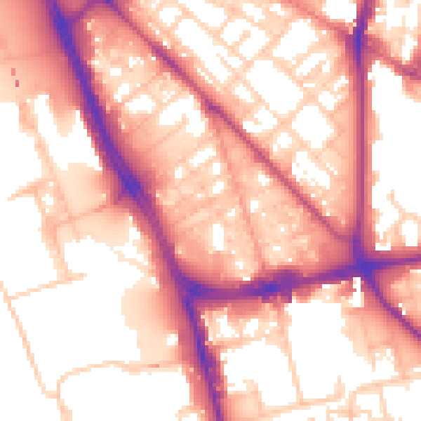
Daytime· 07:00 – 23:00
57.4dB

Night-time· 23:00 – 07:00
48.5dB