Flat 10, 28 Chase Avenue, Red Lodge, Bury St Edmunds, IP28 1AB
About Flat 10
Flat 10 is a semi-detached house in Red Lodge, Bury St. Edmunds, Bury St Edmunds (IP28 1AB). It has a recorded floor area of 55 m² (around 592 sq ft). The latest certificate (September 2020) returns a B (score 82), comfortably above the UK average. The recommended improvements would push it to A (score 97).
At 55 m² the property is well over the postcode median (41 m² across 9 EPCs), placing it in the larger end of the local stock.
Know exactly what you're buying at Flat 10
Before you offer, see what the listing won't tell you, the true value, the red flags and the full history.
Valuation
against the asking price
Risks
planning & flood
Sold prices
similar homes nearby
Trends
the local market
Energy performance
Flat 10's carbon output is low for the local stock.
EPC Rating
Planning history
Flat 10 has no planning applications on record.
The full report still covers planning activity across the surrounding area.
Sales history & valuation
Flat 10 has no Land Registry sales on file, suggesting it has stayed in the same hands since registration began.
£197,000
Modelled from EPC, postcode comparables.
No sales recorded with HM Land Registry
That can mean the property has never traded since the registry began publishing in 1995, was a new build that hasn't been registered yet, or is held in the same hands long-term.
Everything we know about Flat 10, in one report
What it's really worth, what could be wrong, and the planning, sales and area data in full.
- Am I paying too much?
- Is something wrong with it?
- Is the agent's story true?
- Will it hold its value?

Similar properties nearby
Flat 2, 28 Chase Avenue, Red Lodge
IP28 1AB
Flat 1, 28 Chase Avenue, Red Lodge
IP28 1AB
Flat 3, 28 Chase Avenue, Red Lodge
IP28 1AB
Flat 6, 28 Chase Avenue, Red Lodge
IP28 1AB
Flat 9, 28 Chase Avenue, Red Lodge
IP28 1AB
Flat 4, 28 Chase Avenue, Red Lodge
IP28 1AB
Flat 5, 28 Chase Avenue, Red Lodge
IP28 1AB
Flat 7, 28 Chase Avenue, Red Lodge
IP28 1AB
The neighbourhood at a glance
Crime
3/mo
Steady year-on-year across the wider district.
Nearest stop
0.2 km
Horseshoe Drive — bus stop.
Closest school
0.6 km
The Pines Primary School. 2 schools nearby.
Go deeper on the local area
The full report breaks down crime, transport links, schools and air quality in depth.
Road noise across the postcode
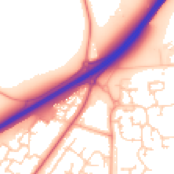
Daytime· 07:00 – 23:00
56.1dB

Night-time· 23:00 – 07:00
48.5dB