The Thatches, Crossing Road, Palgrave, Diss, IP22 1AW
About The Thatches
The Thatches is a detached house in Palgrave, Diss, Diss (IP22 1AW). It has a recorded floor area of 95 m² (around 1025 sq ft), construction records dating it to before 1900 and council tax band F. The latest certificate (May 2010) shows a D (score 63), on the cusp of jumping into the C band. The latest certificate is from May 2010, so improvements made since then won't be reflected.
It hasn't traded since May 2011, a hold of 15 years that's notably long for the area. Across 2007–2011, sale prices on this property compounded at 2.4% per year. Today's modelled estimate of £620,000 is 47.6% above the 2011 sale price. On a £-per-square-foot basis, the last sale (£410/sq ft) was about 108.4% above the typical sold price in the postcode. At 95 m² it's 23.2% smaller than the typical home in the postcode (124 m² median across 15 EPCs).
Know exactly what you're buying at The Thatches
Before you offer, see what the listing won't tell you, the true value, the red flags and the full history.
Already flagged here
Valuation
against the asking price
Risks
planning & flood
Sold prices
similar homes nearby
Trends
the local market
Energy performance
The Thatches's carbon output runs well above what efficient homes in the postcode produce.
EPC Expired
This certificate is over 10 years old and is no longer valid.Expired 06 May 2020
EPC Rating
Planning history
The Thatches has no planning applications on record.
Notable planning nearby
6applications of note in the surrounding area
We flagged 1 thing worth checking at The Thatches
Independent checks surfaced things a buyer would want to understand before offering. The report explains each one in full, with the underlying data and what to ask.
- Larger development activity nearby
30-day money-back guarantee
Sales history & valuation
The Thatches valuation sits well clear of the typical sold price in this postcode.
£620,000
Modelled from EPC, postcode comparables and a sale-price growth of 2.4% per year over 4 years.
£420,000
Growth on file: 2.4% per year over 4 years.
Sales timeline
17 May 2011Most recent
£420,000
+9.1%over 3 years11 September 2007
£385,000
Median price across the last 5 sales in IP22 1AW: £400,000 (2022–2020).
Nearby sales in IP22 1AW
Pear Tree Cottage, Crossing Road, Palgrave, Diss, IP22 1AW
Sold Dec 2022
£370,000Burlington Lodge, Crossing Road, Palgrave, Diss, IP22 1AW
Sold Aug 2022
£515,000Limes Cottage, Crossing Road, Palgrave, Diss, IP22 1AW
Sold Apr 2022
£315,000Fairfax House, Crossing Road, Palgrave, Diss, IP22 1AW
Sold Sept 2021
£445,000Tudor Cottage, Crossing Road, Palgrave, Diss, IP22 1AW
Sold Feb 2020
£400,000
Everything we know about The Thatches, in one report
What it's really worth, what could be wrong, and the planning, sales and area data in full.
What we flagged
- Larger development activity nearby

Versus other Crossing Road homes
The Thatches outperforms the street on price per m² by a wide margin.
Price per m²
£4,412
Street avg £3,031
Floor Area
95 m²
Street avg 135 m²
Habitable Rooms
7 rooms
Street avg 6 rooms
CO₂ Emissions
6.8 t/year
Street avg 6.6 t/year
Similar properties nearby
1 Barbauld Close, Palgrave
IP22 1BJ
1 Clarke Close, Palgrave
IP22 1BE
1 Blands Farm Close, Palgrave
IP22 1TD
1 Burlington Close, Palgrave
IP22 1AU
1 Barley Birch Drive, Botesdale
IP22 1FP
1 Cherry Tree Close, Wortham
IP22 1QR
1 Charity Cottage, The Street, Redgrave
IP22 1RW
1 Beech Tree Farm Cottages, Rectory Road, Wortham
IP22 1SS
The neighbourhood at a glance
Daytime road noise here sits well below conversation level — a quiet pocket of the postcode.
Crime
2/mo
Steady year-on-year across the wider district.
Nearest stop
0.1 km
Rose Lane Close — bus stop.
Closest school
0.3 km
Palgrave Church of England Primary School. 5 schools nearby.
Go deeper on the local area
The full report breaks down crime, transport links, schools and air quality in depth.
Road noise across the postcode
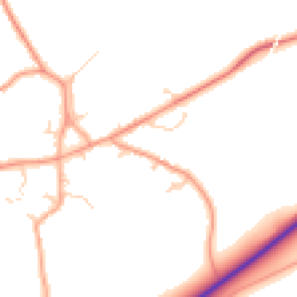
Daytime· 07:00 – 23:00
49.7dB

Night-time· 23:00 – 07:00
41.1dB