9 Horsley Avenue, Cottingham, HU16 5GY
About 9 Horsley Avenue
9 Horsley Avenue is a semi-detached house in Cottingham (HU16 5GY). It has a recorded floor area of 84 m² (around 904 sq ft) and construction records dating it to 2024. The latest certificate (June 2024) returns a B (score 83), comfortably above the UK average. The recommended improvements would push it to A (score 95).
Today's modelled estimate of £231,000 is 32.3% above the 2024 sale price. Last sale on file: £174,562 in June 2024.
Everything you need to know about 9 Horsley Avenue
The true value, the hidden risks and the full sale history, in one report.
30-day money-back guarantee

The data behind every report


Energy performance
9 Horsley Avenue's carbon output is low for the local stock.
EPC Rating
Planning history
9 Horsley Avenue has no planning applications on record.
Notable planning nearby
1applications of note in the surrounding area
We flagged 1 thing worth checking at 9 Horsley Avenue
Independent checks surfaced things a buyer would want to understand before offering. The report explains each one in full, with the underlying data and what to ask.
- Larger development activity nearby
30-day money-back guarantee
Sales history & valuation
£231,000
Modelled from EPC, postcode comparables.
£174,562
Recorded with HM Land Registry.
Sales timeline
27 June 2024Most recent
£174,562
Median price across the last 5 sales in HU16 5GY: £174,562 (2024–2024).
Nearby sales in HU16 5GY
11 Horsley Avenue, Cottingham, HU16 5GY
Sold Jun 2024
£174,56215 Horsley Avenue, Cottingham, HU16 5GY
Sold Jun 2024
£174,56213 Horsley Avenue, Cottingham, HU16 5GY
Sold Jun 2024
£174,562Flat 1, 7 Horsley Avenue, Cottingham, HU16 5GY
Sold Jun 2024
£228,4801 Horsley Avenue, Cottingham, HU16 5GY
Sold Apr 2024
£294,000
Versus other Horsley Avenue homes
On price per m², 9 Horsley Avenue runs well behind the street norm.
Price per m²
£2,078
Street avg £2,450
Floor Area
84 m²
Street avg 101 m²
CO₂ Emissions
1.4 t/year
Street avg 1.6 t/year
Years Held
2 years
Street avg 2 years
Everything you need to know about 9 Horsley Avenue
The true value, the hidden risks and the full sale history, in one report.
30-day money-back guarantee
The data behind every report
Similar properties nearby
The neighbourhood at a glance
Daytime road noise here sits well below conversation level — a quiet pocket of the postcode.
Crime
4/mo
Steady year-on-year across the wider district.
Nearest stop
0.4 km
Cottingham The Lawns — bus stop.
Closest school
0.8 km
Cottingham High School. 8 schools nearby.
Go deeper on the local area
The full report breaks down crime, transport links, schools and air quality in depth.
Road noise across the postcode
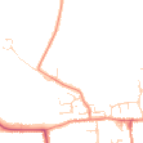
Daytime· 07:00 – 23:00
44.6dB

Night-time· 23:00 – 07:00
36.9dB