6 Bilton Dale, Cottingham, HU16 5DB
About 6 Bilton Dale
6 Bilton Dale is a five-bedroom detached house in Cottingham (HU16 5DB). It has a recorded floor area of 116 m² (around 1249 sq ft). The latest certificate (December 2019) returns a B (score 84), comfortably above the UK average. The recommended improvements would push it to A (score 94).
A recent sale: £325,000 in June 2025. At 116 m² it's 23.4% larger than the typical home in the postcode (94 m² median across 16 EPCs). 5 bedrooms is on the larger side for this postcode, where 3 is the typical count. Across 2019–2025, sale prices on this property compounded at 2.8% per year.
What this property has
Inside
- Bedrooms5
- Bathrooms2
- Open-plan layoutYes
- Dining roomYes
- EnsuiteYes
Outside
- Private gardenYes
- GarageSingle, Integral
Building
- RefurbishedYes
Everything you need to know about 6 Bilton Dale
The true value, the hidden risks and the full sale history, in one report.
30-day money-back guarantee

The data behind every report


Energy performance
EPC Rating
Planning history
6 Bilton Dale has no planning applications on record.
Notable planning nearby
1applications of note in the surrounding area
We flagged 1 thing worth checking at 6 Bilton Dale
Independent checks surfaced things a buyer would want to understand before offering. The report explains each one in full, with the underlying data and what to ask.
- Larger development activity nearby
30-day money-back guarantee
Sales history & valuation
£333,000
Modelled from EPC, postcode comparables and a sale-price growth of 2.8% per year over 5 years.
£325,000
Growth on file: 2.8% per year over 5 years.
Sales timeline
5 June 2025Most recent
£325,000
+16.1%over 5 years20 December 2019
£279,999
Median price across the last 5 sales in HU16 5DB: £270,000 (2025–2020).
Nearby sales in HU16 5DB
Versus other Bilton Dale homes
On years held, 6 Bilton Dale runs well behind the street norm.
Price per m²
£2,802
Street avg £2,367
Floor Area
116 m²
Street avg 94 m²
CO₂ Emissions
1.7 t/year
Street avg 1.4 t/year
Years Held
1 years
Street avg 6 years
Everything you need to know about 6 Bilton Dale
The true value, the hidden risks and the full sale history, in one report.
30-day money-back guarantee
The data behind every report
Similar properties nearby
The neighbourhood at a glance
Daytime road noise here sits well below conversation level — a quiet pocket of the postcode.
Crime
4/mo
Steady year-on-year across the wider district.
Nearest stop
0.1 km
Cottingham Castle Road — bus stop.
Closest school
0.8 km
Westfield Primary School. 10 schools nearby.
Go deeper on the local area
The full report breaks down crime, transport links, schools and air quality in depth.
Road noise across the postcode
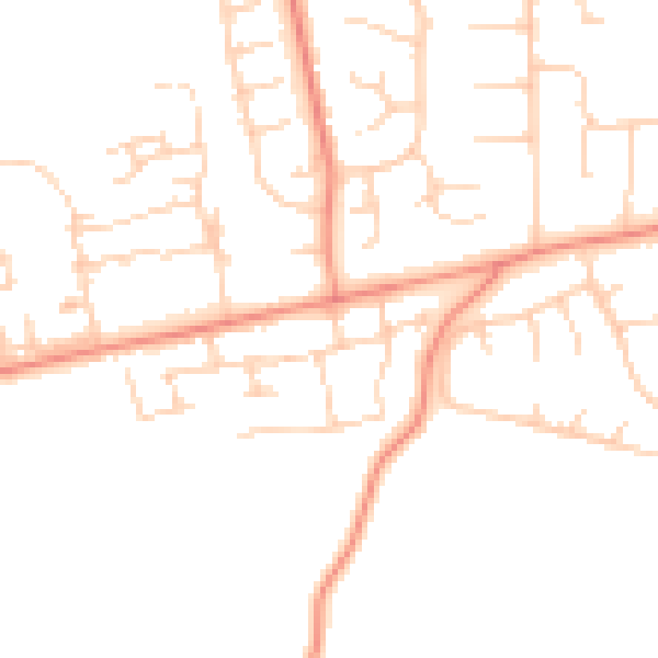
Daytime· 07:00 – 23:00
47.4dB

Night-time· 23:00 – 07:00
37.7dB