Lynfield, Mill Hill, Ellerker, Brough, HU15 2DG
About Lynfield
Lynfield is a seven-bedroom detached house in Ellerker, Brough, Brough (HU15 2DG). It has a recorded floor area of 119 m² (around 1281 sq ft), construction records dating it to 1967-1975 and council tax band E. Other recorded features include attached land beyond the plot. It has already been extended once and our model flags further extension potential, a sign of buyer flexibility. The latest certificate (August 2022) shows a D (score 66), on the cusp of jumping into the C band. The recommended improvements would push it to C (score 80).
4 planning records sit against the property, 2 approved, 0 refused. The record references conservation-area consent, which constrain future alterations. At 119 m² it's 19% larger than the typical home in the postcode (100 m² median across 9 EPCs). 7 bedrooms is on the larger side for this postcode, where 4 is the typical count. On a £-per-square-foot basis, the last sale (£351/sq ft) was about 122.4% above the typical sold price in the postcode. Sold February 2023 for £450,000.
Know exactly what you're buying at Lynfield
Before you offer, see what the listing won't tell you, the true value, the red flags and the full history.
Already flagged here
Valuation
against the asking price
Risks
planning & flood
Sold prices
similar homes nearby
Trends
the local market
What this property has
Inside
- Bedrooms7
- Bathrooms2
Outside
- LandYes
Building
- Previously extendedYes
- Extension potentialPossible
Energy performance
EPC Rating
Planning history
Lynfield sits within a conservation area — exterior works face additional planning controls.
- Sept 2024ConditionsIn report
Submission of details required by Conditions 2 (External Materials), 3 (Hard and Soft Landscaping), 5 (Surface Water Drainage Scheme) & 6 (Floor Levels) of planning permission 23/01692/PLF
- Documents
- 12 docs on file
- Reference
- 24/30252/CONDET
- Apr 2024Demolition And RebuildFullIn report
Erection of a replacement dwelling following the demolition of the existing dwelling
- Documents
- 19 docs on file
- Reference
- 23/01692/PLF
We flagged 1 thing worth checking at Lynfield
Independent checks surfaced things a buyer would want to understand before offering. The report explains each one in full, with the underlying data and what to ask.
- Larger development activity nearby
30-day money-back guarantee
Sales history & valuation
Latest sale on Lynfield was the highest on Land Registry record across the postcode.
£493,000
Modelled from EPC, postcode comparables.
£450,000
Recorded with HM Land Registry.
Sales timeline
14 February 2023Most recent
£450,000
Median price across the last 5 sales in HU15 2DG: £179,995 (2024–2011).
Nearby sales in HU15 2DG
4 Mill Hill, Ellerker, Brough, HU15 2DG
Sold Jan 2024
£305,0001 Mill Hill, Ellerker, Brough, HU15 2DG
Sold Nov 2015
£162,000The Mill House, Mill Hill, Ellerker, Brough, HU15 2DG
Sold Sept 2015
£368,0003 Mill Hill, Ellerker, Brough, HU15 2DG
Sold Sept 2011
£179,99515 Mill Hill, Ellerker, Brough, HU15 2DG
Sold Aug 2011
£172,000
Everything we know about Lynfield, in one report
What it's really worth, what could be wrong, and the planning, sales and area data in full.
What we flagged
- Larger development activity nearby

Versus other Mill Hill homes
On price per m², Lynfield stands well clear of the street.
Price per m²
£3,782
Street avg £2,027
Floor Area
119 m²
Street avg 96 m²
Habitable Rooms
7 rooms
Street avg 5 rooms
CO₂ Emissions
4.5 t/year
Street avg 5.2 t/year
Similar properties nearby
1 Brough Road, South Cave
HU15 2BU
1 Bacchus Lane, South Cave
HU15 2ER
1 Bull Pasture, South Cave
HU15 2HT
1 Appleton Court, North Cave
HU15 2GA
1 Beckside Close, North Cave
HU15 2FU
1 Beck Lane, South Cave
HU15 2FS
1 Belgrave Drive, North Cave
HU15 2NN
1 Burland Rise, South Cave
HU15 2FA
The neighbourhood at a glance
Daytime road noise here sits well below conversation level — a quiet pocket of the postcode.
Crime
3/mo
Steady year-on-year across the wider district.
Nearest stop
0.1 km
Ellerker Howden Croft Hill — bus stop.
Closest school
1.4 km
South Cave Church of England Voluntary Controlled Primary School. 2 schools nearby.
Go deeper on the local area
The full report breaks down crime, transport links, schools and air quality in depth.
Road noise across the postcode
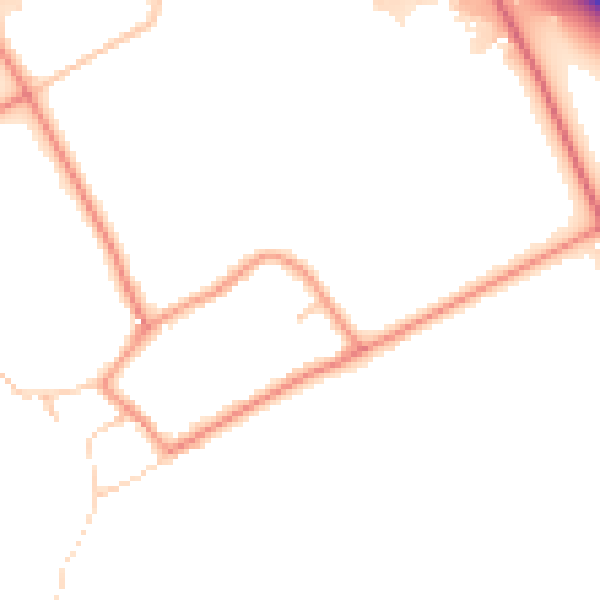
Daytime· 07:00 – 23:00
48.6dB

Night-time· 23:00 – 07:00
40.5dB