8 Thorpe Road, Brough, HU15 1BS
About 8 Thorpe Road
8 Thorpe Road is a three-bedroom semi-detached house in Brough (HU15 1BS). It has a recorded floor area of 87 m² (around 936 sq ft), construction records dating it to 1967-1975 and council tax band A. The latest certificate (January 2024) shows a D (score 67), on the cusp of jumping into the C band. The recommended improvements would lift it to B (score 84), a 2-band jump. The home occupies a corner plot.
Last changed hands 11 years ago, in April 2015. Across the public record there are 4 sales, relatively high churn for a single property. Across 2002–2015, sale prices on this property compounded at 11.9% per year. Today's modelled estimate of £171,000 is 37.3% above the 2015 sale price.
Know exactly what you're buying at 8 Thorpe Road
Before you offer, see what the listing won't tell you, the true value, the red flags and the full history.
Already flagged here
Valuation
against the asking price
Risks
planning & flood
Sold prices
similar homes nearby
Trends
the local market
What this property has
Inside
- Bedrooms3
- Dining roomYes
- Utility roomYes
Outside
- Private gardenFront and rear
- ParkingOff street
- Corner plotYes
Building
- Central heatingYes
Energy performance
Recommended upgrades on file would lift this property by multiple EPC bands.
EPC Rating
Planning history
8 Thorpe Road has no planning applications on record.
Notable planning nearby
8applications of note in the surrounding area
We flagged 1 thing worth checking at 8 Thorpe Road
Independent checks surfaced things a buyer would want to understand before offering. The report explains each one in full, with the underlying data and what to ask.
- Larger development activity nearby
30-day money-back guarantee
Sales history & valuation
Price for 8 Thorpe Road has grown more than fourfold since the 2002 starting point.
£171,000
Modelled from EPC, postcode comparables and a sale-price growth of 11.9% per year over 13 years.
£124,500
Growth on file: 11.9% per year over 13 years.
Sales timeline
28 April 2015Most recent
£124,500
-4.2%over 6 years15 May 2008
£130,000
+18.2%over 2 years18 August 2005
£110,000
+279.8%over 3 years23 April 2002
£28,960
Median price across the last 2 sales in HU15 1BS: £124,000 (2021–2010).
Everything we know about 8 Thorpe Road, in one report
What it's really worth, what could be wrong, and the planning, sales and area data in full.
What we flagged
- Larger development activity nearby

Versus other Thorpe Road homes
Habitable Rooms for 8 Thorpe Road lags the street by a wide margin.
EPC Rating
67 (D)
Street avg 63 (D)
Floor Area
87 m²
Street avg 93 m²
CO₂ Emissions
3.8 t/year
Street avg 3.9 t/year
Habitable Rooms
4 rooms
Street avg 5 rooms
Similar properties nearby
1 Augustus Drive
HU15 1DH
1 Arkley Close
HU15 1EL
1 Aspen Walk, Welton
HU15 1TB
1 Balmoral Lane
HU15 1UG
1 Barberry Court
HU15 1SW
1 Blenheim Avenue
HU15 1WP
1 Ash Avenue, Elloughton
HU15 1LF
1 Bedale Mews
HU15 1QY
The neighbourhood at a glance
Crime
3/mo
Steady year-on-year across the wider district.
Nearest stop
0.0 km
Elloughton Welton Road — bus stop.
Closest school
0.5 km
Brough Primary School. 5 schools nearby.
Go deeper on the local area
The full report breaks down crime, transport links, schools and air quality in depth.
Road noise across the postcode
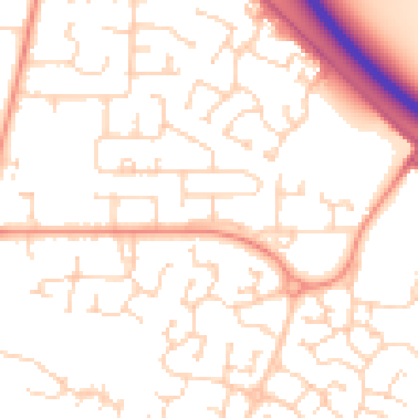
Daytime· 07:00 – 23:00
51.6dB

Night-time· 23:00 – 07:00
40.1dB