5 Burnham Avenue, Beaconsfield, HP9 2JA
3 sales on record
About 5 Burnham Avenue
A plain-English summary derived from public records, EPC certificates, sold prices and local data.
5 Burnham Avenue is a seven-bedroom detached house in Beaconsfield (HP9 2JA). It has a recorded floor area of 424 m² (around 4564 sq ft), construction records dating it to 1967-1975 and council tax band G. The latest certificate (November 2022) shows a C (score 77), near the top of the C band. The recommended improvements would push it to B (score 81). Other recorded features include a basement. The home occupies a cul-de-sac position.
It hasn't traded since February 2009, a hold of 17 years that's notably long for the area. That sale fell during the post-crash dip, which often skews comparisons against later neighbouring sales. Sale prices here have outpaced England HPI: 9% per year against 0% for the wider region. Today's modelled estimate of £1,750,000 sits 131.5% above the 2009 sale of £755,900. On a £-per-square-foot basis, the last sale (£166/sq ft) was about 57.6% below the postcode norm. At 424 m² the property is well over the postcode median (181 m² across 11 EPCs), placing it in the larger end of the local stock. Its energy rating outperforms most of the postcode (better than 82% of similar EPCs). 7 bedrooms is on the larger side for this postcode, where 5 is the typical count. 2 planning records sit against the property, 0 approved, 0 refused.
What this property has
Pulled from EPC certificates, claim submissions and our property model. Empty categories are hidden — we only show what's known.
Inside
- Bedrooms7
- Bathrooms4
- BasementYes
Outside
- Cul-de-sac
Energy performance
Every EPC certificate filed against this property — current rating, recorded improvements, and where there's headroom to reach a higher band.
5 Burnham Avenue's carbon output runs well above what efficient homes in the postcode produce.
EPC Rating
A
B
C
C77
D
E
F
G
Main Heating
Gas
Main Fuel
Gas
Hot Water
Good
Windows
Good
CO2 Emissions
8.3 t/year
Occupancy
Rented
Planning history
Applications and permits filed against 5 Burnham Avenue, Beaconsfield, HP9 2JA, sourced from the PlanIt planning register.
Council records include a two-storey side and rear extension at 5 Burnham Avenue.
- Jul 2014ExtensionFullGranted
Extension: Two storey · Side and rear of property
Two storey front/side/rear extensions and internal alterations (Amendment to Planning Permission 11/02070/FUL).
Sales history & valuation
Recorded transactions, our model's current estimate, and a quick read on what neighbouring properties have sold for.
5 Burnham Avenue has more than doubled in price since the earliest registered sale in 1997.
Current estimate
See how we calculated this£1,750,000
Modelled from EPC, postcode comparables and a sale-price growth of 9.0% per year over 12 years.
Last sold (2009)
£755,900
Growth on file: 9.0% per year over 12 years.
Sales timeline
Launch offer · 33% off
The complete analysis of 5 Burnham Avenue, Beaconsfield, HP9 2JA
Everything we know about this property, compiled into one in-depth, downloadable report.
Detailed analysis
A written breakdown of everything that matters
Versus other Burnham Avenue homes
Four headline reads against 11 similar houses on this street, drawn from the latest EPC and Land Registry data.
Price per m² for 5 Burnham Avenue lags the street by a wide margin.
Price per m²
£1,783
Street avg £5,911
Floor Area
424 m²
Street avg 210 m²
Habitable Rooms
11 rooms
Similar properties nearby
A handful of close matches in the same postcode area, ranked by likeness on bedrooms, type and floor area.
The neighbourhood at a glance
A condensed read of the local area. Each tile links through to the full breakdown on the Beaconsfield district page.
Crime
2/mo
Steady year-on-year across the wider district.
Nearest stop
0.2 km
Cricket Ground — bus stop.
Road noise across the postcode
Modelled day and night-time noise levels around HP9 2JA from Defra's strategic mapping. The pin marks this postcode's centroid.
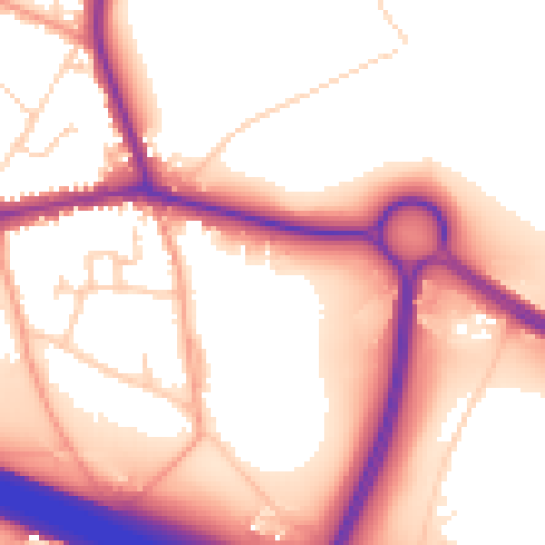
Daytime· 07:00 – 23:00
56.4dB

Everything within walking distance
Schools, transport stops and scenic spots near this property — 36 points of interest in total.
Common questions
The questions buyers, sellers and homeowners most often ask about 5 Burnham Avenue, Beaconsfield, HP9 2JA. Each answer is also embedded as structured data for search engines.
