6a, Caledon Close, Beaconsfield, HP9 2DA
About 6a
A plain-English summary derived from public records, EPC certificates, sold prices and local data.
6a is a detached house in Beaconsfield (HP9 2DA). It has a recorded floor area of 159 m² (around 1711 sq ft) and construction records dating it to 1996-2002. The latest certificate (March 2021) shows a D (score 66), on the cusp of jumping into the C band. The recommended improvements would lift it to B (score 81), a 2-band jump.
Untraded for 21 years, with the last transfer in August 2005. Sale prices here have outpaced England HPI: 7.2% per year against 0% for the wider region. Today's modelled estimate of £1,155,000 sits 71.1% above the 2005 sale of £675,000. At 159 m² it's 17.2% smaller than the typical home in the postcode (192 m² median across 3 EPCs).
Energy performance
Every EPC certificate filed against this property — current rating, recorded improvements, and where there's headroom to reach a higher band.
Recommended upgrades on file would lift this property by multiple EPC bands.
EPC Rating
A
B
C
D
D66
E
F
G
Main Heating
Gas
Main Fuel
Gas
Hot Water
Good
Windows
Average
CO2 Emissions
5.9 t/year
Occupancy
Owner Occupied
Planning history
Applications and permits filed against 6a, Caledon Close, Beaconsfield, HP9 2DA, sourced from the PlanIt planning register.
No planning applications are recorded against 6a, Caledon Close, Beaconsfield, HP9 2DA. The full report also covers planning activity across the surrounding area.
Full planning data for 6a, Caledon Close, Beaconsfield, HP9 2DA
Every application and decision on this property and nearby, in full, in the report.
Sales history & valuation
Recorded transactions, our model's current estimate, and a quick read on what neighbouring properties have sold for.
6a valuation sits well clear of the typical sold price in this postcode.
Current estimate
See how we calculated this£1,155,000
Modelled from EPC, postcode comparables and a sale-price growth of 7.2% per year over 4 years.
Last sold (2005)
£675,000
Growth on file: 7.2% per year over 4 years.
Sales timeline
Launch offer · 33% off
The complete analysis of 6a, Caledon Close, Beaconsfield, HP9 2DA
Everything we know about this property, compiled into one in-depth, downloadable report.
Detailed analysis
A written breakdown of everything that matters
Versus other Caledon Close homes
Four headline reads against 3 similar houses on this street, drawn from the latest EPC and Land Registry data.
On price per m², 6a runs well behind the street norm.
Price per m²
£4,245
Street avg £6,000
Floor Area
159 m²
Street avg 182 m²
Habitable Rooms
7 rooms
Street avg 7 rooms
Similar properties nearby
A handful of close matches in the same postcode area, ranked by likeness on bedrooms, type and floor area.
The neighbourhood at a glance
A condensed read of the local area. Each tile links through to the full breakdown on the Beaconsfield district page.
Rail-style transport is unusually close for this postcode.
Crime
2/mo
Steady year-on-year across the wider district.
Nearest stop
0.1 km
Beaconsfield Rail Station — railway station.
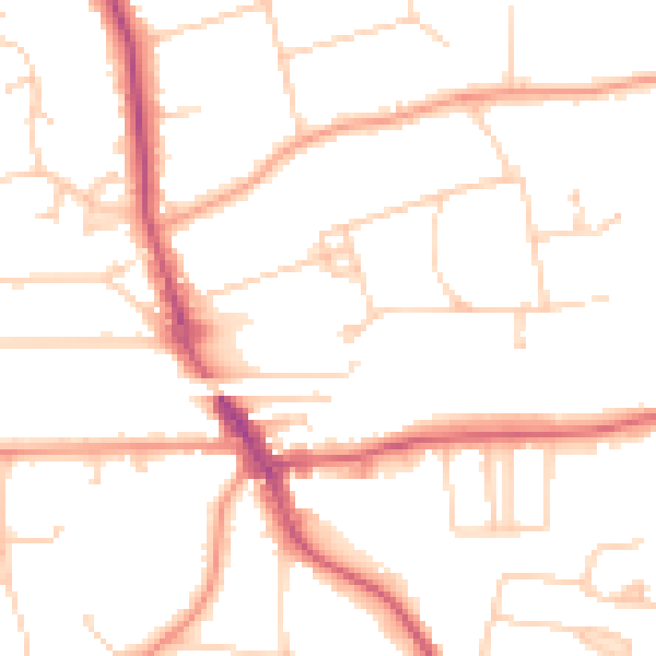
Road noise across the postcode
Modelled day and night-time noise levels around HP9 2DA from Defra's strategic mapping. The pin marks this postcode's centroid.
Daytime· 07:00 – 23:00
49.3dB

Everything within walking distance
Schools, transport stops and scenic spots near this property — 36 points of interest in total.
Common questions
The questions buyers, sellers and homeowners most often ask about 6a, Caledon Close, Beaconsfield, HP9 2DA. Each answer is also embedded as structured data for search engines.
