Bovis House, Flat 8, 142 Northolt Road, Harrow, HA2 0EG
About Bovis House
Bovis House is a detached house in Harrow (HA2 0EG). It has a recorded floor area of 35 m² (around 377 sq ft) and council tax band B. The latest certificate (June 2015) shows a C (score 77), near the top of the C band. The rating has held steady at C across 2 certificates since June 2015. Between certificates, window efficiency went from Average to Very Good. The latest certificate is from June 2015, so improvements made since then won't be reflected. At 35 m² this is the 14th smallest of 92 units on EPC record in Bovis House, where floor areas span 25–100 m². The building's EPC ratings span E to B across 92 units on file.
At 35 m² it sits well below the postcode median (53 m² across 91 EPCs), making it one of the more compact homes locally. On a £-per-square-foot basis, the last sale (£611/sq ft) was about 24.8% above the typical sold price in the postcode. On the market in September 2015 and unlisted since — roughly 11 years.
Know exactly what you're buying at Bovis House
Before you offer, see what the listing won't tell you, the true value, the red flags and the full history.
Already flagged here
Valuation
against the asking price
Risks
planning & flood
Sold prices
similar homes nearby
Trends
the local market
Energy performance
Bovis House's carbon output is low for the local stock.
EPC Expired
This certificate is over 10 years old and is no longer valid.Expired 14 Jun 2025
EPC Rating
Property Improvements
Changes detected from historical EPC data
High performance glazing installed
Planning history
Bovis House has no planning applications on record.
Notable planning nearby
5applications of note in the surrounding area
We flagged 2 things worth checking at Bovis House
Independent checks surfaced things a buyer would want to understand before offering. The report explains each one in full, with the underlying data and what to ask.
- Signs of HMO activity in the area
- Larger development activity nearby
30-day money-back guarantee
Sales history & valuation
£235,000
Modelled from EPC, postcode comparables.
£230,000
Recorded with HM Land Registry.
Sales timeline
8 September 2015Most recent
£230,000
Median price across the last 5 sales in HA2 0EG: £218,000 (2024–2024).
Nearby sales in HA2 0EG
Bovis House, Flat 83, 142 Northolt Road, Harrow, HA2 0EG
Sold Dec 2024
£350,000Bovis House, Flat 33, 142 Northolt Road, Harrow, HA2 0EG
Sold Dec 2024
£218,000Bovis House, Flat 15, 142 Northolt Road, Harrow, HA2 0EG
Sold Dec 2024
£210,000Bovis House, Flat 60, 142 Northolt Road, Harrow, HA2 0EG
Sold Sept 2024
£400,000Bovis House, Flat 51, 142 Northolt Road, Harrow, HA2 0EG
Sold Sept 2024
£210,000
Everything we know about Bovis House, in one report
What it's really worth, what could be wrong, and the planning, sales and area data in full.
What we flagged
- Signs of HMO activity in the area
- Larger development activity nearby

Versus other Northolt Road homes
EPC Rating for Bovis House lags the street by a wide margin.
Price per m²
£6,571
Street avg £5,493
Floor Area
35 m²
Street avg 57 m²
CO₂ Emissions
1.0 t/year
Street avg 1.1 t/year
Years Held
11 years
Street avg 9 years
Similar properties nearby
32a, Flat 1, Rayners Lane
HA2 0UB
1a, Flat 2, Southdown Crescent
HA2 0QT
32a, Flat 2, Rayners Lane
HA2 0UB
1a, Flat 1, Southdown Crescent
HA2 0QT
Bluebell Court, Flat 12, Tranquil Lane
HA2 0GS
11f, Flat 1, Byron Hill Road
HA2 0JD
Bluebell Court, Flat 25, Tranquil Lane
HA2 0GS
Bluebell Court, Flat 24, Tranquil Lane
HA2 0GS
The neighbourhood at a glance
Rail-style transport is unusually close for this postcode.
Crime
6/mo
Rising year-on-year across the wider district.
Nearest stop
0.2 km
South Harrow Bus Station — bus stop.
Closest school
0.6 km
Roxeth Primary School. 35 schools nearby.
Go deeper on the local area
The full report breaks down crime, transport links, schools and air quality in depth.
Road noise across the postcode
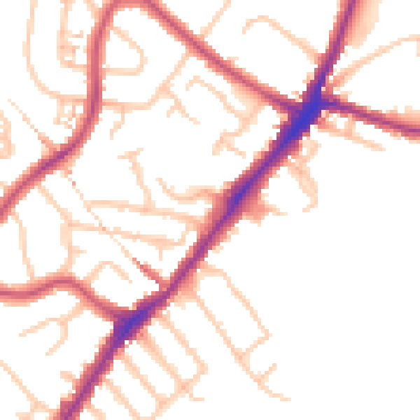
Daytime· 07:00 – 23:00
50.3dB

Night-time· 23:00 – 07:00
40.7dB