6 Hunter Road, Farnborough, GU14 0AU
About 6 Hunter Road
6 Hunter Road is a three-bedroom semi-detached house in Farnborough (GU14 0AU). It has a recorded floor area of 84 m² (around 904 sq ft), construction records dating it to 1950-1966 and council tax band C. Tenure is freehold. The latest certificate (October 2022) shows a C (score 71). The recommended improvements would push it to B (score 85). The home occupies a cul-de-sac position.
On a £-per-square-foot basis, the last sale (£459/sq ft) was about 149.4% above the typical sold price in the postcode. Sold April 2023 for £415,000.
Know exactly what you're buying at 6 Hunter Road
Before you offer, see what the listing won't tell you, the true value, the red flags and the full history.
Valuation
against the asking price
Risks
planning & flood
Sold prices
similar homes nearby
Trends
the local market
What this property has
Inside
- Bedrooms3
- Bathrooms2
- CloakroomYes
Outside
- Private gardenRear
- DrivewayYes
- Cul-de-sacYes
Building
- TenureFreehold
Energy performance
EPC Rating
Planning history
6 Hunter Road has no planning applications on record.
The full report still covers planning activity across the surrounding area.
Sales history & valuation
6 Hunter Road valuation sits well clear of the typical sold price in this postcode.
£451,000
Modelled from EPC, postcode comparables.
£415,000
Recorded with HM Land Registry.
Sales timeline
27 April 2023Most recent
£415,000
Median price across the last 5 sales in GU14 0AU: £290,000 (2024–2018).
Nearby sales in GU14 0AU
Everything we know about 6 Hunter Road, in one report
What it's really worth, what could be wrong, and the planning, sales and area data in full.
- Am I paying too much?
- Is something wrong with it?
- Is the agent's story true?
- Will it hold its value?

Versus other Hunter Road homes
On price per m², 6 Hunter Road stands well clear of the street.
Price per m²
£4,940
Street avg £2,916
Floor Area
84 m²
Street avg 79 m²
Habitable Rooms
4 rooms
Street avg 4 rooms
CO₂ Emissions
2.9 t/year
Street avg 2.9 t/year
Similar properties nearby
The neighbourhood at a glance
Crime
7/mo
Steady year-on-year across the wider district.
Nearest stop
0.2 km
Tower Hill — bus stop.
Closest school
0.3 km
Tower Hill Primary School. 28 schools nearby.
Go deeper on the local area
The full report breaks down crime, transport links, schools and air quality in depth.
Road noise across the postcode
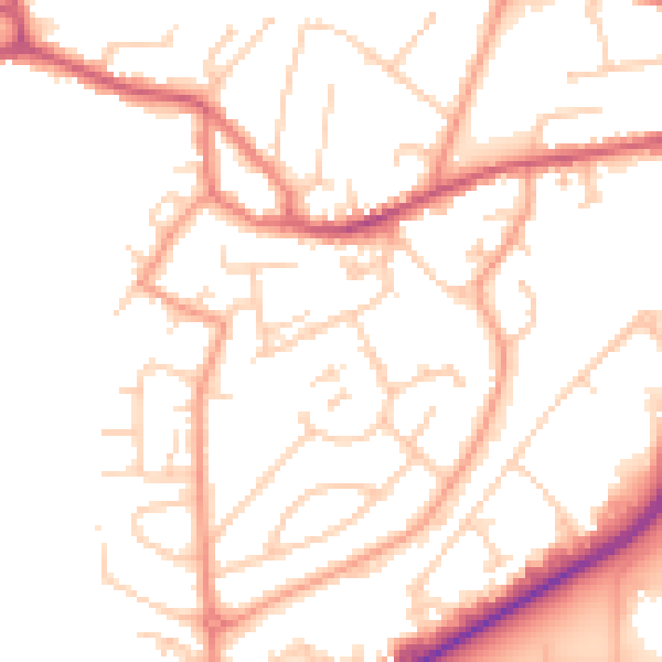
Daytime· 07:00 – 23:00
52.1dB
Night-time· 23:00 – 07:00
42.0dB