29 Clyde Crescent, Cheltenham, GL52 5QY
About 29 Clyde Crescent
29 Clyde Crescent is a mid-terrace house in Cheltenham (GL52 5QY). It has a recorded floor area of 65 m² (around 700 sq ft), construction records dating it to 1930-1949 and council tax band B. The latest certificate (March 2014) shows a D (score 63), on the cusp of jumping into the C band. The rating has held steady at D across 3 certificates since August 2013. Between certificates, lighting went from Average to Good. The recommended improvements would lift it to B (score 83), a 2-band jump. The latest certificate is from March 2014, so improvements made since then won't be reflected.
Untraded for 26 years, with the last transfer in July 2000. Only one transfer is on record with HM Land Registry, suggesting it has stayed in the same hands for a long time. Today's modelled estimate of £229,000 sits 595.2% above the 2000 sale of £32,940. On a £-per-square-foot basis, the last sale (£47/sq ft) was about 72.9% below the postcode norm.
Everything you need to know about 29 Clyde Crescent
The true value, the hidden risks and the full sale history, in one report.
30-day money-back guarantee

The data behind every report


Energy performance
Recommended upgrades on file would lift this property by multiple EPC bands.
EPC Expired
This certificate is over 10 years old and is no longer valid.Expired 13 Mar 2024
EPC Rating
Property Improvements
Changes detected from historical EPC data
Planning history
29 Clyde Crescent has no planning applications on record.
The full report still covers planning activity across the surrounding area.
Sales history & valuation
Latest sale on 29 Clyde Crescent was the lowest on Land Registry record across the postcode.
£229,000
Modelled from EPC, postcode comparables.
£32,940
Recorded with HM Land Registry.
Sales timeline
9 July 2000Most recent
£32,940
Median price across the last 5 sales in GL52 5QY: £240,000 (2025–2021).
Nearby sales in GL52 5QY
Versus other Clyde Crescent homes
29 Clyde Crescent is notably below the street on price per m².
Price per m²
£507
Street avg £2,377
Floor Area
65 m²
Street avg 80 m²
Habitable Rooms
3 rooms
Street avg 5 rooms
CO₂ Emissions
2.9 t/year
Street avg 3.0 t/year
Everything you need to know about 29 Clyde Crescent
The true value, the hidden risks and the full sale history, in one report.
30-day money-back guarantee
The data behind every report
Similar properties nearby
The neighbourhood at a glance
Daytime road noise here sits well below conversation level — a quiet pocket of the postcode.
Crime
3/mo
Steady year-on-year across the wider district.
Nearest stop
0.2 km
Windrush Road — bus stop.
Closest school
0.4 km
Oakwood Primary School. 17 schools nearby.
Go deeper on the local area
The full report breaks down crime, transport links, schools and air quality in depth.
Road noise across the postcode
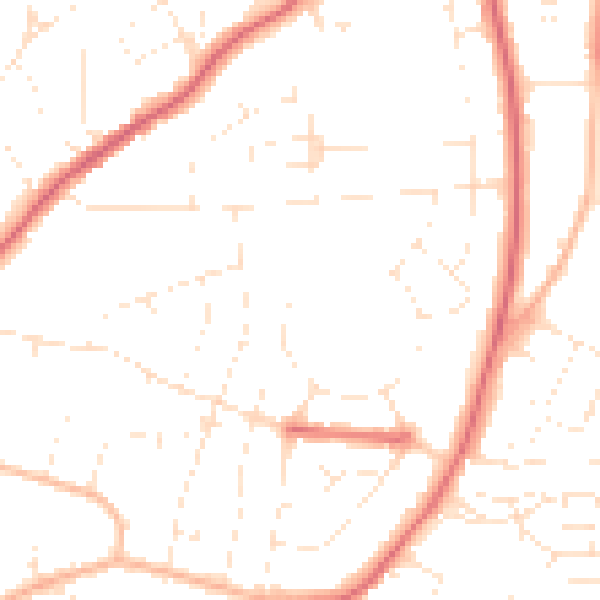
Daytime· 07:00 – 23:00
48.8dB

Night-time· 23:00 – 07:00
39.2dB