2 Bath Place, Lydney, GL15 5RR
About 2 Bath Place
2 Bath Place is a two-bedroom detached house in Lydney (GL15 5RR). It has a recorded floor area of 80 m² (around 861 sq ft), construction records dating it to 1900-1929 and council tax band B. The latest certificate (March 2017) shows an E (score 52), well below the UK norm with real room to improve. The rating has held steady at E across 2 certificates since May 2016. The recommended improvements would lift it to B (score 83), a 3-band jump.
Last sold in August 2017, so it's been off the market for around 9 years. Across the public record there are 4 sales, relatively high churn for a single property. At 80 m² it's 27% larger than the typical home in the postcode (63 m² median across 3 EPCs). Across 1995–2017, sale prices on this property compounded at 10.6% per year. Today's modelled estimate of £291,000 is 37.3% above the 2017 sale price. On a £-per-square-foot basis, the last sale (£246/sq ft) was about 39.1% above the typical sold price in the postcode.
What this property has
Inside
- Bedrooms2
- Bathrooms2
Everything you need to know about 2 Bath Place
The true value, the hidden risks and the full sale history, in one report.
30-day money-back guarantee

The data behind every report


Energy performance
Recommended upgrades on file would lift this property by multiple EPC bands.
EPC Rating
Property Improvements
Changes detected from historical EPC data
Windows upgraded, improving insulation
Planning history
2 Bath Place has no planning applications on record.
Notable planning nearby
1applications of note in the surrounding area
We flagged 3 things worth checking at 2 Bath Place
Independent checks surfaced things a buyer would want to understand before offering. The report explains each one in full, with the underlying data and what to ask.
- Larger development activity nearby
- Recent ownership pattern worth a look
- Environmental risk flagged
30-day money-back guarantee
Sales history & valuation
Latest sale on 2 Bath Place was the highest on Land Registry record across the postcode.
£291,000
Modelled from EPC, postcode comparables and a sale-price growth of 10.6% per year over 22 years.
£212,000
Growth on file: 10.6% per year over 22 years.
Sales timeline
2 August 2017Most recent
£212,000
+69.6%over 10 months29 September 2016
£125,000
+92.3%over 15 years19 September 2001
£65,000
+170.8%over 5 years17 November 1995
£24,000
Median price across the last 5 sales in GL15 5RR: £120,000 (2022–2006).
Versus other Bath Place homes
Floor Area for 2 Bath Place runs comfortably ahead of the street norm.
Price per m²
£2,650
Street avg £2,203
Floor Area
80 m²
Street avg 56 m²
Habitable Rooms
4 rooms
Street avg 3 rooms
CO₂ Emissions
5.1 t/year
Street avg 3.1 t/year
Everything you need to know about 2 Bath Place
The true value, the hidden risks and the full sale history, in one report.
30-day money-back guarantee
The data behind every report
Similar properties nearby
The neighbourhood at a glance
Rail-style transport is unusually close for this postcode.
Crime
2/mo
Steady year-on-year across the wider district.
Nearest stop
0.1 km
Forest Parade — bus stop.
Closest school
0.4 km
Lydney Church of England Community School. 5 schools nearby.
Go deeper on the local area
The full report breaks down crime, transport links, schools and air quality in depth.
Road noise across the postcode
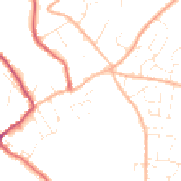
Daytime· 07:00 – 23:00
48.3dB

Night-time· 23:00 – 07:00
39.0dB