Are you a property professional?Get qualified leads from motivated homeowners.
Get started1 Bradshaws Close, Stalmine, Poulton Le Fylde, FY6 0QP
About 1 Bradshaws Close
A plain-English summary derived from public records, EPC certificates, sold prices and local data.
1 Bradshaws Close is a detached house in Stalmine, Poulton-Le-Fylde, Poulton Le Fylde (FY6 0QP). It has a recorded floor area of 151 m² (around 1625 sq ft), construction records dating it to 2003-2006 and council tax band E. The latest certificate (April 2016) shows a C (score 71). The recommended improvements would push it to B (score 83). The latest certificate is from April 2016, so improvements made since then won't be reflected.
It hasn't traded since September 2003, a hold of 23 years that's notably long for the area. Today's modelled estimate of £346,000 sits 109.7% above the 2003 sale of £165,000. On a £-per-square-foot basis, the last sale (£102/sq ft) was about 15.9% below the postcode norm.
Energy performance
Every EPC certificate filed against this property — current rating, recorded improvements, and where there's headroom to reach a higher band.
EPC Expired
This certificate is over 10 years old and is no longer valid.Expired 26 Apr 2026
EPC Rating
A
B
C
C71
D
E
F
G
Main Heating
Gas
Main Fuel
Gas
Hot Water
Good
Windows
Good
CO2 Emissions
4.8 t/year
Occupancy
Owner Occupied
Sales history & valuation
Recorded transactions, our model's current estimate, and a quick read on what neighbouring properties have sold for.
1 Bradshaws Close valuation sits well clear of the typical sold price in this postcode.
Current estimate
See how we calculated this£346,000
Modelled from EPC, postcode comparables.
Last sold (2003)
£165,000
Recorded with HM Land Registry.
Sales timeline
Similar properties nearby
A handful of close matches in the same postcode area, ranked by likeness on bedrooms, type and floor area.
The neighbourhood at a glance
A condensed read of the local area. Each tile links through to the full breakdown on the Poulton Le Fylde district page.
Daytime road noise here sits well below conversation level — a quiet pocket of the postcode.
Crime
1/mo
Steady year-on-year across the wider district.
Nearest stop
0.4 km
Road noise across the postcode
Modelled day and night-time noise levels around FY6 0QP from Defra's strategic mapping. The pin marks this postcode's centroid.
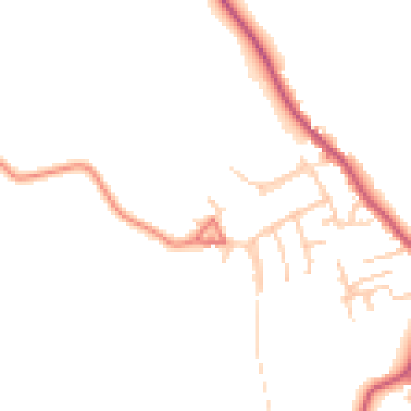
Daytime· 07:00 – 23:00
45.0dB

Everything within walking distance
Schools, transport stops and scenic spots near this property — 34 points of interest in total.
Beautiful places to visit nearby
Curated scenic spots within reach of this postcode, served by Beautifulplaces.ai. Photography and tagging come from their open dataset.
Common questions
The questions buyers, sellers and homeowners most often ask about 1 Bradshaws Close, Stalmine, Poulton Le Fylde, FY6 0QP. Each answer is also embedded as structured data for search engines.