Are you a property professional?Get qualified leads from motivated homeowners.
Get started16 Normoss Road, Blackpool, FY3 0AL
3 sales on record
About 16 Normoss Road
A plain-English summary derived from public records, EPC certificates, sold prices and local data.
16 Normoss Road is a four-bedroom detached house in Blackpool (FY3 0AL). It has a recorded floor area of 227 m² (around 2443 sq ft), construction records dating it to 1930-1949 and council tax band E. The latest certificate (April 2023) shows a C (score 74). The recommended improvements would lift it to A (score 92), a 2-band jump.
Sale prices here have outpaced Blackpool HPI: 7% per year against 0% for the wider region. On a £-per-square-foot basis, the last sale (£227/sq ft) was about 77.7% above the typical sold price in the postcode. At 227 m² the property is well over the postcode median (114 m² across 21 EPCs), placing it in the larger end of the local stock. Its energy rating outperforms most of the postcode (better than 71% of similar EPCs). Last sale on file: £555,000 in July 2024. One historical planning record sits against the property in 2007.
What this property has
Pulled from EPC certificates, claim submissions and our property model. Empty categories are hidden — we only show what's known.
Inside
- Bedrooms4
- Bathrooms2
Energy performance
Every EPC certificate filed against this property — current rating, recorded improvements, and where there's headroom to reach a higher band.
16 Normoss Road's carbon output runs well above what efficient homes in the postcode produce.
EPC Rating
A
B
C
C74
D
E
F
G
Main Heating
Gas
Main Fuel
Gas
Hot Water
Good
Windows
Average
CO2 Emissions
6.5 t/year
Occupancy
Owner Occupied
Planning history
Applications and permits filed against 16 Normoss Road, Blackpool, FY3 0AL, sourced from the PlanIt planning register.
- Jun 2007OutlinePermission Not Required
Permitted Development Enquiry for siting of static caravan
Sales history & valuation
Recorded transactions, our model's current estimate, and a quick read on what neighbouring properties have sold for.
Latest sale on 16 Normoss Road was the highest on Land Registry record across the postcode.
Current estimate
See how we calculated this£566,000
Modelled from EPC, postcode comparables and a sale-price growth of 7.0% per year over 28 years.
Last sold (2024)
£555,000
Growth on file: 7.0% per year over 28 years.
Sales timeline
Versus other Normoss Road homes
Four headline reads against 20 similar houses on this street, drawn from the latest EPC and Land Registry data.
On years held, 16 Normoss Road runs well behind the street norm.
Price per m²
£2,445
Street avg £1,572
Floor Area
227 m²
Street avg 132 m²
Habitable Rooms
7 rooms
Similar properties nearby
A handful of close matches in the same postcode area, ranked by likeness on bedrooms, type and floor area.
The neighbourhood at a glance
A condensed read of the local area. Each tile links through to the full breakdown on the Blackpool district page.
Daytime road noise here sits well below conversation level — a quiet pocket of the postcode.
Crime
6/mo
Steady year-on-year across the wider district.
Nearest stop
0.0 km
Road noise across the postcode
Modelled day and night-time noise levels around FY3 0AL from Defra's strategic mapping. The pin marks this postcode's centroid.
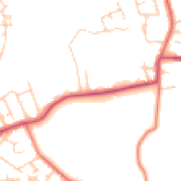
Daytime· 07:00 – 23:00
48.2dB

Everything within walking distance
Schools, transport stops and scenic spots near this property — 49 points of interest in total.
Beautiful places to visit nearby
Curated scenic spots within reach of this postcode, served by Beautifulplaces.ai. Photography and tagging come from their open dataset.
Common questions
The questions buyers, sellers and homeowners most often ask about 16 Normoss Road, Blackpool, FY3 0AL. Each answer is also embedded as structured data for search engines.