18 Abbots Drive, Bideford, EX39 4DB
About 18 Abbots Drive
18 Abbots Drive is a semi-detached house in Bideford (EX39 4DB). It has a recorded floor area of 72 m² (around 775 sq ft), construction records dating it to 1976-1982 and council tax band B. The latest certificate (October 2022) shows a C (score 69), just inside the C band. The rating has held steady at C across 2 certificates since August 2010. Between certificates, roof efficiency went from Good to Very Good and lighting went from Poor to Very Good. The recommended improvements would push it to B (score 86). Main heating runs on oil.
It hasn't traded since January 2011, a hold of 15 years that's notably long for the area. Across 1996–2011, sale prices on this property compounded at 9.3% per year. Today's modelled estimate of £191,000 sits 50.4% above the 2011 sale of £127,000. Its energy rating outperforms most of the postcode (better than 80% of similar EPCs).
Everything you need to know about 18 Abbots Drive
The true value, the hidden risks and the full sale history, in one report.
30-day money-back guarantee

The data behind every report


Energy performance
EPC Rating
Property Improvements
Changes detected from historical EPC data
Loft insulation upgraded to recommended levels
More low energy lighting installed
Planning history
18 Abbots Drive has no planning applications on record.
Notable planning nearby
2applications of note in the surrounding area
We flagged 1 thing worth checking at 18 Abbots Drive
Independent checks surfaced things a buyer would want to understand before offering. The report explains each one in full, with the underlying data and what to ask.
- Larger development activity nearby
30-day money-back guarantee
Sales history & valuation
Sale price has grown by over 3x since 1996.
£191,000
Modelled from EPC, postcode comparables and a sale-price growth of 9.3% per year over 14 years.
£127,000
Growth on file: 9.3% per year over 14 years.
Sales timeline
5 January 2011Most recent
£127,000
+51.2%over 8 years23 May 2002
£84,000
+133.3%over 5 years1 November 1996
£36,000
Median price across the last 5 sales in EX39 4DB: £175,000 (2021–2018).
Nearby sales in EX39 4DB
Versus other Abbots Drive homes
On epc rating, 18 Abbots Drive stands well clear of the street.
Price per m²
£1,764
Street avg £1,961
Floor Area
72 m²
Street avg 76 m²
Habitable Rooms
5 rooms
Street avg 5 rooms
CO₂ Emissions
3.1 t/year
Street avg 3.9 t/year
Everything you need to know about 18 Abbots Drive
The true value, the hidden risks and the full sale history, in one report.
30-day money-back guarantee
The data behind every report
Similar properties nearby
The neighbourhood at a glance
Daytime road noise here sits well below conversation level — a quiet pocket of the postcode.
Crime
4/mo
Steady year-on-year across the wider district.
Nearest stop
0.0 km
Clivenden Road — bus stop.
Closest school
0.4 km
East-the-Water Community Primary School. 4 schools nearby.
Go deeper on the local area
The full report breaks down crime, transport links, schools and air quality in depth.
Road noise across the postcode
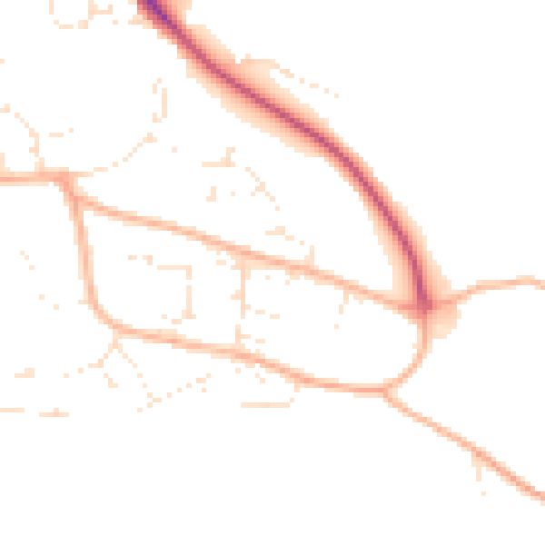
Daytime· 07:00 – 23:00
46.6dB

Night-time· 23:00 – 07:00
38.3dB