Westside, Flat 3, New Street, Bideford, EX39 2DB
About Westside
Westside is a mid-terrace house in Bideford (EX39 2DB). It has a recorded floor area of 49 m² (around 527 sq ft) and construction records dating it to 1950-1966. At 49 m² this is the smallest unit on EPC record across Westside (49–80 m²). The latest certificate (July 2025) shows a D (score 60), on the cusp of jumping into the C band. The recommended improvements would push it to C (score 77). Main heating runs on electricity.
At 49 m² it's 22.2% smaller than the typical home in the postcode (63 m² median across 18 EPCs).
Everything you need to know about Westside
The true value, the hidden risks and the full sale history, in one report.
30-day money-back guarantee

The data behind every report


Energy performance
Westside's carbon output is low for the local stock.
EPC Rating
Planning history
Westside has no planning applications on record.
Notable planning nearby
5applications of note in the surrounding area
We flagged 2 things worth checking at Westside
Independent checks surfaced things a buyer would want to understand before offering. The report explains each one in full, with the underlying data and what to ask.
- Signs of HMO activity in the area
- Larger development activity nearby
30-day money-back guarantee
Sales history & valuation
Westside has no Land Registry sales on file, suggesting it has stayed in the same hands since registration began.
£136,000
Modelled from EPC, postcode comparables.
No sales recorded with HM Land Registry
That can mean the property has never traded since the registry began publishing in 1995, was a new build that hasn't been registered yet, or is held in the same hands long-term.
Versus other New Street homes
On co₂ emissions, Westside stands well clear of the street.
EPC Rating
60 (D)
Street avg 66 (D)
Floor Area
49 m²
Street avg 66 m²
CO₂ Emissions
0.7 t/year
Street avg 1.2 t/year
Habitable Rooms
2 rooms
Street avg 3 rooms
Everything you need to know about Westside
The true value, the hidden risks and the full sale history, in one report.
30-day money-back guarantee
The data behind every report
Similar properties nearby
11 New Street Flats, New Street
EX39 2DB
13 New Street Flats, New Street
EX39 2DB
10 New Street Flats, New Street
EX39 2DB
12 New Street Flats, New Street
EX39 2DB
2 3, Flat 5, Mill Street
EX39 2JT
11 St Marys Flats, Buttgarden Street
EX39 2AY
14a, Flat 1, Allhalland Street
EX39 2JD
2 3, Flat 4, Mill Street
EX39 2JT
The neighbourhood at a glance
Crime
4/mo
Steady year-on-year across the wider district.
Nearest stop
0.1 km
High Street — bus stop.
Closest school
0.8 km
West Croft School. 7 schools nearby.
Go deeper on the local area
The full report breaks down crime, transport links, schools and air quality in depth.
Road noise across the postcode
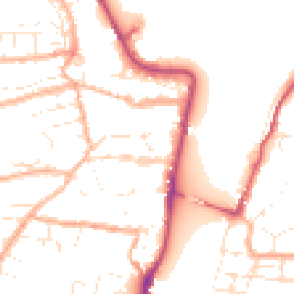
Daytime· 07:00 – 23:00
51.0dB

Night-time· 23:00 – 07:00
42.0dB