11 Maer Top Way, Barnstaple, EX31 1RZ
About 11 Maer Top Way
11 Maer Top Way is a detached house in Barnstaple (EX31 1RZ). It has a recorded floor area of 78 m² (around 840 sq ft), construction records dating it to 1983-1990 and council tax band C. The latest certificate (July 2014) shows a C (score 69), just inside the C band. The recommended improvements would push it to B (score 84). The latest certificate is from July 2014, so improvements made since then won't be reflected.
Held since June 1997 — that's 29 years off the open market, well above the local norm. Across 1996–1997, sale prices on this property compounded at 7.2% per year. Today's modelled estimate of £270,000 sits 350.4% above the 1997 sale of £59,950. On a £-per-square-foot basis, the last sale (£71/sq ft) was about 62.6% below the postcode norm. At 78 m² it's 15.9% smaller than the typical home in the postcode (93 m² median across 35 EPCs).
Know exactly what you're buying at 11 Maer Top Way
Before you offer, see what the listing won't tell you, the true value, the red flags and the full history.
Already flagged here
Valuation
against the asking price
Risks
planning & flood
Sold prices
similar homes nearby
Trends
the local market
Energy performance
11 Maer Top Way's EPC is over a decade old — improvements since won't be reflected.
EPC Expired
This certificate is over 10 years old and is no longer valid.Expired 12 Jul 2024
EPC Rating
Planning history
11 Maer Top Way has no planning applications on record.
Notable planning nearby
9applications of note in the surrounding area
We flagged 2 things worth checking at 11 Maer Top Way
Independent checks surfaced things a buyer would want to understand before offering. The report explains each one in full, with the underlying data and what to ask.
- Signs of HMO activity in the area
- Larger development activity nearby
30-day money-back guarantee
Sales history & valuation
11 Maer Top Way's modelled value sits at over four times its earliest registered sale price (1996).
£270,000
Modelled from EPC, postcode comparables and a sale-price growth of 7.2% per year over 1 year.
£59,950
Growth on file: 7.2% per year over 1 year.
Sales timeline
29 June 1997Most recent
£59,950
+9.0%over 1 year2 April 1996
£55,000
Median price across the last 5 sales in EX31 1RZ: £350,000 (2025–2022).
Nearby sales in EX31 1RZ
Everything we know about 11 Maer Top Way, in one report
What it's really worth, what could be wrong, and the planning, sales and area data in full.
What we flagged
- Signs of HMO activity in the area
- Larger development activity nearby

Versus other Maer Top Way homes
Floor Area for 11 Maer Top Way lags the street by a wide margin.
Price per m²
£769
Street avg £2,285
Floor Area
78 m²
Street avg 99 m²
Habitable Rooms
5 rooms
Street avg 5 rooms
CO₂ Emissions
2.6 t/year
Street avg 3.4 t/year
Similar properties nearby
The neighbourhood at a glance
Crime
2/mo
Steady year-on-year across the wider district.
Nearest stop
0.1 km
Youings Drive Roundabout — bus stop.
Closest school
0.6 km
Pilton Infants' Academy. 12 schools nearby.
Go deeper on the local area
The full report breaks down crime, transport links, schools and air quality in depth.
Road noise across the postcode
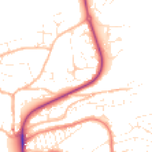
Daytime· 07:00 – 23:00
50.1dB

Night-time· 23:00 – 07:00
40.3dB