9 Colt Mews, Enfield, EN3 6YH
About 9 Colt Mews
9 Colt Mews is a two-bedroom mid-terrace house in Enfield (EN3 6YH). It has a recorded floor area of 61 m² (around 657 sq ft), construction records dating it to 1983-1990 and council tax band D. At 61 m² this is the 10th smallest of 14 units on EPC record in the building, where floor areas span 38–116 m². The building's EPC ratings span D to C, with this unit at the bottom. The latest certificate (April 2022) shows a D (score 67), on the cusp of jumping into the C band. The recommended improvements would push it to C (score 78). Main heating runs on electricity.
Untraded for 22 years, with the last transfer in June 2004. Across 2002–2004, sale prices on this property compounded at 4.5% per year. Today's modelled estimate of £273,000 sits 79.6% above the 2004 sale of £152,000.
What this property has
Inside
- Bedrooms2
- Bathrooms1
Outside
- ParkingAllocated
Everything you need to know about 9 Colt Mews
The true value, the hidden risks and the full sale history, in one report.
30-day money-back guarantee

The data behind every report


Energy performance
EPC Rating
Planning history
9 Colt Mews has no planning applications on record.
Notable planning nearby
52applications of note in the surrounding area
We flagged 1 thing worth checking at 9 Colt Mews
Independent checks surfaced things a buyer would want to understand before offering. The report explains each one in full, with the underlying data and what to ask.
- Signs of HMO activity in the area
30-day money-back guarantee
Sales history & valuation
9 Colt Mews valuation sits well clear of the typical sold price in this postcode.
£273,000
Modelled from EPC, postcode comparables and a sale-price growth of 4.5% per year over 2 years.
£152,000
Growth on file: 4.5% per year over 2 years.
Sales timeline
15 June 2004Most recent
£152,000
+9.4%over 2 years30 May 2002
£139,000
Median price across the last 5 sales in EN3 6YH: £262,000 (2023–2016).
Versus other Colt Mews homes
9 Colt Mews outperforms the street on floor area by a wide margin.
Price per m²
£2,492
Street avg £3,575
Floor Area
61 m²
Street avg 49 m²
Habitable Rooms
3 rooms
Street avg 3 rooms
CO₂ Emissions
2.7 t/year
Street avg 2.6 t/year
Everything you need to know about 9 Colt Mews
The true value, the hidden risks and the full sale history, in one report.
30-day money-back guarantee
The data behind every report
Similar properties nearby
The neighbourhood at a glance
Rail-style transport is unusually close for this postcode.
Crime
8/mo
Rising year-on-year across the wider district.
Nearest stop
0.2 km
Gunner Drive — bus stop.
Closest school
0.6 km
Oasis Academy Enfield. 23 schools nearby.
Go deeper on the local area
The full report breaks down crime, transport links, schools and air quality in depth.
Road noise across the postcode
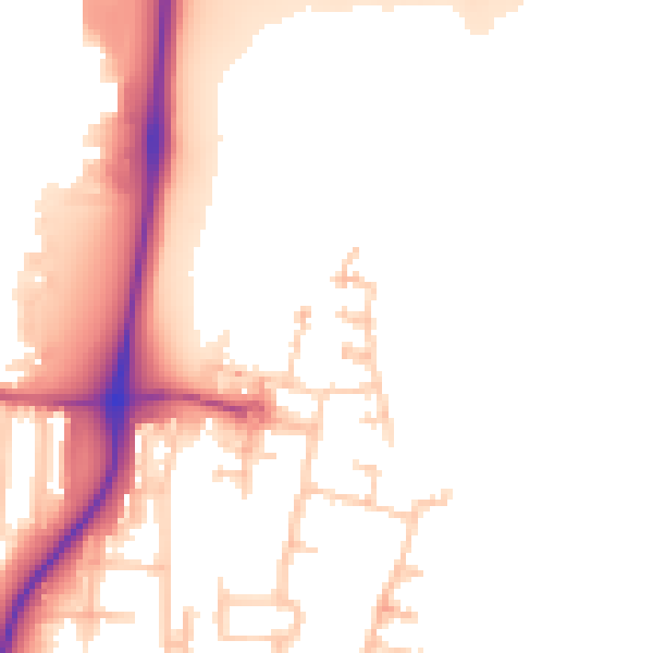
Daytime· 07:00 – 23:00
53.1dB

Night-time· 23:00 – 07:00
45.3dB