5 Amhurst Close, Enfield, EN3 6PU
About 5 Amhurst Close
5 Amhurst Close is a two-bedroom end-of-terrace house in Enfield (EN3 6PU). It has a recorded floor area of 57 m² (around 614 sq ft), construction records dating it to 2012 onwards and council tax band C. The latest certificate (August 2021) shows a C (score 77), near the top of the C band. The rating has held steady at C across 2 certificates since August 2011. Between certificates, wall efficiency went from Good to Very Good. The recommended improvements would lift it to A (score 92), a 2-band jump.
Today's modelled estimate of £353,000 sits 88.8% above the 2013 sale of £187,000. On the market in November 2013 and unlisted since — roughly 13 years.
What this property has
Inside
- Bedrooms2
- Bathrooms1
Outside
- ParkingAllocated
Building
- Heating systemGas
- RefurbishedYes
Everything you need to know about 5 Amhurst Close
The true value, the hidden risks and the full sale history, in one report.
30-day money-back guarantee

The data behind every report


Energy performance
5 Amhurst Close's carbon output is low for the local stock.
EPC Rating
Property Improvements
Changes detected from historical EPC data
Wall insulation improved
Ventilation system changed
Planning history
5 Amhurst Close has no planning applications on record.
Notable planning nearby
52applications of note in the surrounding area
We flagged 1 thing worth checking at 5 Amhurst Close
Independent checks surfaced things a buyer would want to understand before offering. The report explains each one in full, with the underlying data and what to ask.
- Signs of HMO activity in the area
30-day money-back guarantee
Sales history & valuation
5 Amhurst Close valuation sits well clear of the typical sold price in this postcode.
£353,000
Modelled from EPC, postcode comparables and a sale-price growth of 0.1% per year over 6 years.
£187,000
Growth on file: 0.1% per year over 6 years.
Sales timeline
28 November 2013Most recent
£187,000
+0.5%over 6 years27 August 2007
£186,000
Median price across the last 5 sales in EN3 6PU: £234,000 (2024–2007).
Versus other Amhurst Close homes
On epc rating, 5 Amhurst Close stands well clear of the street.
Price per m²
£3,281
Street avg £4,497
Floor Area
57 m²
Street avg 62 m²
Habitable Rooms
3 rooms
Street avg 3 rooms
CO₂ Emissions
1.4 t/year
Street avg 1.9 t/year
Everything you need to know about 5 Amhurst Close
The true value, the hidden risks and the full sale history, in one report.
30-day money-back guarantee
The data behind every report
Similar properties nearby
The neighbourhood at a glance
Rail-style transport is unusually close for this postcode.
Crime
8/mo
Rising year-on-year across the wider district.
Nearest stop
0.1 km
Turkey Street Station — bus stop.
Closest school
0.3 km
Freezywater St George's CofE VA Primary School. 37 schools nearby.
Go deeper on the local area
The full report breaks down crime, transport links, schools and air quality in depth.
Road noise across the postcode
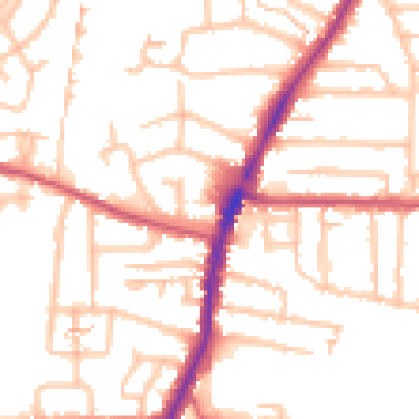
Daytime· 07:00 – 23:00
52.7dB

Night-time· 23:00 – 07:00
43.3dB