13 Brecon Road, Enfield, EN3 4JF
About 13 Brecon Road
13 Brecon Road is an end-of-terrace house in Enfield (EN3 4JF). It has a recorded floor area of 84 m² (around 904 sq ft), construction records dating it to 1930-1949 and council tax band C. The latest certificate (January 2025) shows a D (score 67), on the cusp of jumping into the C band. The recommended improvements would lift it to B (score 81), a 2-band jump.
2 planning records sit against the property, 2 approved, 0 refused.
Everything you need to know about 13 Brecon Road
The true value, the hidden risks and the full sale history, in one report.
30-day money-back guarantee

The data behind every report


Energy performance
Recommended upgrades on file would lift this property by multiple EPC bands.
EPC Rating
Planning history
- Jul 2022AmendmentIn report
All elevations of the property are to be overclad with insulation and finished with a 'dashed' proprietary rendered finish to match the existing pebble-dash rendered finish, including handmade red brick slips to replicate the existing brick quoin details
- Agent
- Randall Shaw Billingham
- Documents
- 15 docs on file
- Reference
- 22/01824/CEU
- Mar 2013ApplicationIn report
Replacement of existing single storey pod at rear with a single storey modular building.
- Documents
- 3 docs on file
- Reference
- P12-03007PLA
We flagged 1 thing worth checking at 13 Brecon Road
Independent checks surfaced things a buyer would want to understand before offering. The report explains each one in full, with the underlying data and what to ask.
- Signs of HMO activity in the area
30-day money-back guarantee
Sales history & valuation
13 Brecon Road has no Land Registry sales on file, suggesting it has stayed in the same hands since registration began.
£435,000
Modelled from EPC, postcode comparables.
No sales recorded with HM Land Registry
That can mean the property has never traded since the registry began publishing in 1995, was a new build that hasn't been registered yet, or is held in the same hands long-term.
Median price across the last 5 sales in EN3 4JF: £355,000 (2025–2015).
Versus other Brecon Road homes
EPC Rating for 13 Brecon Road runs comfortably ahead of the street norm.
EPC Rating
67 (D)
Street avg 58 (D)
Floor Area
84 m²
Street avg 93 m²
CO₂ Emissions
3.2 t/year
Street avg 4.6 t/year
Habitable Rooms
5 rooms
Street avg 5 rooms
Everything you need to know about 13 Brecon Road
The true value, the hidden risks and the full sale history, in one report.
30-day money-back guarantee
The data behind every report
Similar properties nearby
The neighbourhood at a glance
Rail-style transport is unusually close for this postcode.
Crime
8/mo
Rising year-on-year across the wider district.
Nearest stop
0.1 km
Durants Road — bus stop.
Closest school
0.1 km
Southbury Primary School. 46 schools nearby.
Go deeper on the local area
The full report breaks down crime, transport links, schools and air quality in depth.
Road noise across the postcode
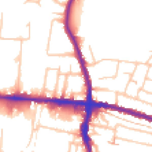
Daytime· 07:00 – 23:00
52.6dB

Night-time· 23:00 – 07:00
43.0dB