71 Norfolk Road, Enfield, EN3 4BE
About 71 Norfolk Road
71 Norfolk Road is a mid-terrace house in Enfield (EN3 4BE). It has a recorded floor area of 73 m² (around 786 sq ft), construction records dating it to 1930-1949 and council tax band D. The latest certificate (September 2016) shows a D (score 68), on the cusp of jumping into the C band. The rating has held steady at D across 3 certificates since September 2013. Between certificates, hot-water efficiency went from Average to Good; while roof efficiency dropped from Good to Poor. The recommended improvements would lift it to B (score 89), a 2-band jump.
Last sold in December 2016, so it's been off the market for around 9 years. At 73 m² it's 25.1% smaller than the typical home in the postcode (98 m² median across 12 EPCs). Today's modelled estimate of £419,000 is 12.3% above the 2016 sale price.
Everything you need to know about 71 Norfolk Road
The true value, the hidden risks and the full sale history, in one report.
30-day money-back guarantee

The data behind every report


Energy performance
Recommended upgrades on file would lift this property by multiple EPC bands.
EPC Rating
Property Improvements
Changes detected from historical EPC data
Hot water system upgraded
Windows upgraded, improving insulation
More low energy lighting installed
Planning history
71 Norfolk Road has no planning applications on record.
Notable planning nearby
39applications of note in the surrounding area
We flagged 1 thing worth checking at 71 Norfolk Road
Independent checks surfaced things a buyer would want to understand before offering. The report explains each one in full, with the underlying data and what to ask.
- Signs of HMO activity in the area
30-day money-back guarantee
Sales history & valuation
71 Norfolk Road valuation sits well clear of the typical sold price in this postcode.
£419,000
Modelled from EPC, postcode comparables.
£373,000
Recorded with HM Land Registry.
Sales timeline
13 December 2016Most recent
£373,000
Median price across the last 5 sales in EN3 4BE: £560,000 (2024–2018).
Versus other Norfolk Road homes
On floor area, 71 Norfolk Road runs well behind the street norm.
Price per m²
£5,110
Street avg £4,525
Floor Area
73 m²
Street avg 106 m²
Habitable Rooms
4 rooms
Street avg 5 rooms
CO₂ Emissions
2.8 t/year
Street avg 4.4 t/year
Everything you need to know about 71 Norfolk Road
The true value, the hidden risks and the full sale history, in one report.
30-day money-back guarantee
The data behind every report
Similar properties nearby
The neighbourhood at a glance
Rail-style transport is unusually close for this postcode.
Crime
8/mo
Rising year-on-year across the wider district.
Nearest stop
0.3 km
Suffolk Road Enfield — bus stop.
Closest school
0.5 km
Heron Hall Academy. 45 schools nearby.
Go deeper on the local area
The full report breaks down crime, transport links, schools and air quality in depth.
Road noise across the postcode
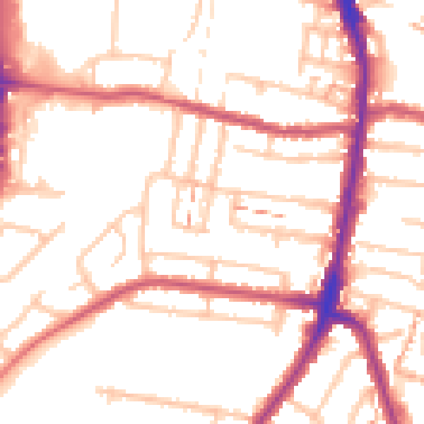
Daytime· 07:00 – 23:00
52.6dB

Night-time· 23:00 – 07:00
42.3dB