11 Bemersyde Point, Dongola Road West, Newham, London, E13 0AW
About 11 Bemersyde Point
11 Bemersyde Point is an end-of-terrace house in Newham, London, London (E13 0AW). It has a recorded floor area of 77 m² (around 829 sq ft), construction records dating it to 1967-1975 and council tax band B. At 77 m² this is the largest unit on EPC record across the building (39–77 m²). The building's EPC ratings span D to C, with this unit at the top. The latest certificate (February 2017) shows a C (score 73).
At 77 m² it's 20.3% larger than the typical home in the postcode (64 m² median across 46 EPCs). Today's modelled estimate of £316,000 is 12.9% above the 2024 sale price. Last sale on file: £280,000 in January 2024.
Know exactly what you're buying at 11 Bemersyde Point
Before you offer, see what the listing won't tell you, the true value, the red flags and the full history.
Already flagged here
Valuation
against the asking price
Risks
planning & flood
Sold prices
similar homes nearby
Trends
the local market
Energy performance
EPC Rating
Planning history
11 Bemersyde Point has no planning applications on record.
Notable planning nearby
8applications of note in the surrounding area
We flagged 1 thing worth checking at 11 Bemersyde Point
Independent checks surfaced things a buyer would want to understand before offering. The report explains each one in full, with the underlying data and what to ask.
- Signs of HMO activity in the area
30-day money-back guarantee
Sales history & valuation
£316,000
Modelled from EPC, postcode comparables.
£280,000
Recorded with HM Land Registry.
Sales timeline
5 January 2024Most recent
£280,000
Median price across the last 2 sales in E13 0AW: £137,500 (2015–2005).
Nearby sales in E13 0AW
Everything we know about 11 Bemersyde Point, in one report
What it's really worth, what could be wrong, and the planning, sales and area data in full.
What we flagged
- Signs of HMO activity in the area

Versus other Bemersyde Point homes
Floor Area for 11 Bemersyde Point runs comfortably ahead of the street norm.
EPC Rating
73 (C)
Street avg 75 (C)
Floor Area
77 m²
Street avg 59 m²
CO₂ Emissions
2.2 t/year
Street avg 1.7 t/year
Habitable Rooms
4 rooms
Street avg 3 rooms
Similar properties nearby
1 Greenwood Road, Newham
E13 0JF
1 Bemersyde Point, Dongola Road West, Newham
E13 0AW
1 Greengate Street, Newham
E13 0BG
1 Fothergill Close, Newham
E13 0LJ
1 Claude Road, Newham
E13 0QB
1 Juliette Road, Newham
E13 0DL
1 Grange Road, Newham
E13 0EE
1 Antigua Mews, Newham
E13 0BF
The neighbourhood at a glance
Reported crime in the wider district is trending notably upward year-on-year.
Crime
7/mo
Rising year-on-year across the wider district.
Nearest stop
0.1 km
Liddon Road — bus stop.
Closest school
0.5 km
Kaizen Primary School. 90 schools nearby.
Go deeper on the local area
The full report breaks down crime, transport links, schools and air quality in depth.
Road noise across the postcode
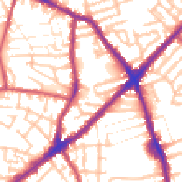
Daytime· 07:00 – 23:00
55.5dB

Night-time· 23:00 – 07:00
45.9dB