86 Hyperion Road, Stourton, Stourbridge, DY7 6SL
About 86 Hyperion Road
86 Hyperion Road is a detached house in Stourton, Stourbridge, Stourbridge (DY7 6SL). It has a recorded floor area of 156 m² (around 1679 sq ft), construction records dating it to 1950-1966 and council tax band F. The latest certificate (December 2023) shows a D (score 65), on the cusp of jumping into the C band. The recommended improvements would push it to C (score 78).
Untraded for 28 years, with the last transfer in August 1998. At 156 m² the property is well over the postcode median (118 m² across 9 EPCs), placing it in the larger end of the local stock. Today's modelled estimate of £568,000 sits 300% above the 1998 sale of £142,000. On a £-per-square-foot basis, the last sale (£85/sq ft) was about 62.9% below the postcode norm. 2 planning records sit against the property, 1 approved, 1 refused. Past consents include tree works, meaningful when judging how the property has evolved.
Know exactly what you're buying at 86 Hyperion Road
Before you offer, see what the listing won't tell you, the true value, the red flags and the full history.
Already flagged here
Valuation
against the asking price
Risks
planning & flood
Sold prices
similar homes nearby
Trends
the local market
Energy performance
EPC Rating
Planning history
- Feb 2021ConditionsIn report
Discharge Condition 2 - Landscape Scheme
- Reference
- 20/00498/COND
- Aug 2020Tree WorksFullIn report
I want to replace an existing hedge which is mainly Conifer and is diseased in a number of places. It is between 2 metres and 3 metres tall. The proposal is to remove the hedge and replace it with a wooden Feather board fence, 2 metres all round.
- Documents
- 10 docs on file
- Reference
- 20/00498/FUL
We flagged 1 thing worth checking at 86 Hyperion Road
Independent checks surfaced things a buyer would want to understand before offering. The report explains each one in full, with the underlying data and what to ask.
- Larger development activity nearby
30-day money-back guarantee
Sales history & valuation
86 Hyperion Road's modelled value sits at over four times its earliest registered sale price (1998).
£568,000
Modelled from EPC, postcode comparables.
£142,000
Recorded with HM Land Registry.
Sales timeline
9 August 1998Most recent
£142,000
21 April 1998
£142,000
Median price across the last 5 sales in DY7 6SL: £395,000 (2025–2016).
Nearby sales in DY7 6SL
104 Hyperion Road, Stourton, Stourbridge, DY7 6SL
Sold Sept 2025
£355,50098 Hyperion Road, Stourton, Stourbridge, DY7 6SL
Sold Sept 2022
£550,000100 Hyperion Road, Stourton, Stourbridge, DY7 6SL
Sold Apr 2022
£420,00084 Hyperion Road, Stourton, Stourbridge, DY7 6SL
Sold Aug 2020
£395,00078 Hyperion Road, Stourton, Stourbridge, DY7 6SL
Sold Dec 2016
£355,000
Everything we know about 86 Hyperion Road, in one report
What it's really worth, what could be wrong, and the planning, sales and area data in full.
What we flagged
- Larger development activity nearby

Versus other Hyperion Road homes
On price per m², 86 Hyperion Road runs well behind the street norm.
Price per m²
£910
Street avg £3,146
Floor Area
156 m²
Street avg 119 m²
Habitable Rooms
7 rooms
Street avg 6 rooms
CO₂ Emissions
5.5 t/year
Street avg 4.9 t/year
Similar properties nearby
1 Edge Hill, Kinver
DY7 6DP
1 Cedar Vale, Kinver
DY7 6FB
1 Fairfield Drive, Kinver
DY7 6EW
1 Dunsley Hall Farm Barns, Dunsley Road, Kinver
DY7 6LU
1 Compton Close, Kinver
DY7 6DW
1 Dunsley Manor Farm Barns, Dunsley Road, Kinver
DY7 6LX
1 Enville Road, Kinver
DY7 6AB
1 Chestnut Grove, Kinver
DY7 6DQ
The neighbourhood at a glance
Daytime road noise here sits well below conversation level — a quiet pocket of the postcode.
Crime
3/mo
Steady year-on-year across the wider district.
Nearest stop
0.0 km
Frairs Gorse — bus stop.
Closest school
0.3 km
St James's CofE Primary School. 21 schools nearby.
Go deeper on the local area
The full report breaks down crime, transport links, schools and air quality in depth.
Road noise across the postcode
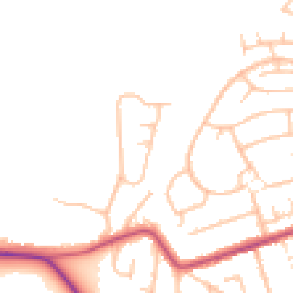
Daytime· 07:00 – 23:00
46.4dB

Night-time· 23:00 – 07:00
38.5dB