25 Hyperion Road, Stourton, Stourbridge, DY7 6SD
About 25 Hyperion Road
25 Hyperion Road is a semi-detached house in Stourton, Stourbridge, Stourbridge (DY7 6SD). It has a recorded floor area of 107 m² (around 1152 sq ft), construction records dating it to 1930-1949 and council tax band D. The latest certificate (April 2014) shows an F (score 33), near the bottom of the EPC scale. The recommended improvements would lift it to C (score 80), a 3-band jump. The latest certificate is from April 2014, so improvements made since then won't be reflected.
On energy efficiency it sits in the bottom 10% of properties in this postcode — significant headroom for improvement. 2 planning records sit against the property, 2 approved, 0 refused. Past consents include an extension, partial demolition and tree works, meaningful when judging how the property has evolved. On the market in September 2014 and unlisted since — roughly 12 years. Today's modelled estimate of £382,000 is 43.1% above the 2014 sale price.
Know exactly what you're buying at 25 Hyperion Road
Before you offer, see what the listing won't tell you, the true value, the red flags and the full history.
Already flagged here
Valuation
against the asking price
Risks
planning & flood
Sold prices
similar homes nearby
Trends
the local market
Energy performance
25 Hyperion Road sits at the bottom of the postcode for energy efficiency — meaningful headroom to improve.
EPC Expired
This certificate is over 10 years old and is no longer valid.Expired 04 Apr 2024
EPC Rating
Planning history
Planning history includes recorded demolition works, indicating a major rebuild phase at this address.
- Feb 2016DemolitionFullIn report
Extension: Single storey
Demolition of outhouse and construction of single-storey rear/side extension with flat roof and glazed roof lights
Extension- Reference
- 16/00032/FUL
- Jan 2015Tree WorksTreesIn report
Tree Preservation Order 20/1965 Wood W1 - remove 1 sweet chestnut and crown lift another. Until site visit it is unclear whether the trees fall within the protected W1 boundary or not.
- Reference
- 14/00967/TREE
We flagged 1 thing worth checking at 25 Hyperion Road
Independent checks surfaced things a buyer would want to understand before offering. The report explains each one in full, with the underlying data and what to ask.
- Larger development activity nearby
30-day money-back guarantee
Sales history & valuation
25 Hyperion Road valuation sits well clear of the typical sold price in this postcode.
£382,000
Modelled from EPC, postcode comparables.
£267,000
Recorded with HM Land Registry.
Sales timeline
24 September 2014Most recent
£267,000
Median price across the last 5 sales in DY7 6SD: £465,000 (2023–2022).
Nearby sales in DY7 6SD
59 Hyperion Road, Stourton, Stourbridge, DY7 6SD
Sold Aug 2023
£440,00057 Hyperion Road, Stourton, Stourbridge, DY7 6SD
Sold Jul 2022
£476,00045 Hyperion Road, Stourton, Stourbridge, DY7 6SD
Sold Mar 2022
£412,50061 Hyperion Road, Stourton, Stourbridge, DY7 6SD
Sold Feb 2022
£675,00067 Hyperion Road, Stourton, Stourbridge, DY7 6SD
Sold Feb 2022
£465,000
Everything we know about 25 Hyperion Road, in one report
What it's really worth, what could be wrong, and the planning, sales and area data in full.
What we flagged
- Larger development activity nearby

Versus other Hyperion Road homes
EPC Rating for 25 Hyperion Road lags the street by a wide margin.
Price per m²
£2,495
Street avg £3,030
Floor Area
107 m²
Street avg 153 m²
Habitable Rooms
5 rooms
Street avg 7 rooms
CO₂ Emissions
8.7 t/year
Street avg 6.3 t/year
Similar properties nearby
1 Compton Gardens, Kinver
DY7 6DS
1 Brockleys Walk, Kinver
DY7 6JT
1 Barratts Coppice Cottage, Bridgnorth Road, Stourton
DY7 6QY
1 Cedar Gardens, Kinver
DY7 6BW
1 Church Cottages, Church Hill, Kinver
DY7 6HX
1 Chestnut Grove, Kinver
DY7 6DQ
1 Crystal Gardens, Kinver
DY7 6DG
1 Enville Road, Kinver
DY7 6AB
The neighbourhood at a glance
Daytime road noise here sits well below conversation level — a quiet pocket of the postcode.
Crime
3/mo
Steady year-on-year across the wider district.
Nearest stop
0.1 km
no. 56 — bus stop.
Closest school
0.4 km
St James's CofE Primary School. 20 schools nearby.
Go deeper on the local area
The full report breaks down crime, transport links, schools and air quality in depth.
Road noise across the postcode
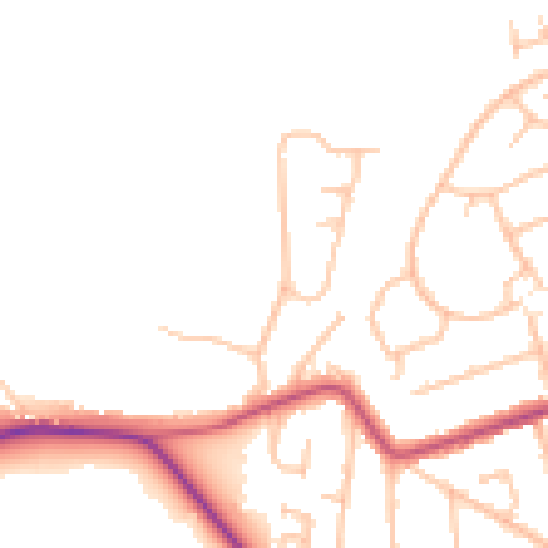
Daytime· 07:00 – 23:00
46.8dB

Night-time· 23:00 – 07:00
39.1dB