23 Hyperion Road, Stourton, Stourbridge, DY7 6SD
About 23 Hyperion Road
23 Hyperion Road is a property in Stourton, Stourbridge, Stourbridge (DY7 6SD). It has council tax band E.
One planning record on file: an extension approved in 2015. Past consents include an extension, meaningful when judging how the property has evolved.
Energy performance
No EPC on record
This property doesn't have an Energy Performance Certificate yet. An EPC is required to sell or let — and unlocks our automated valuation.
Planning history
23 Hyperion Road has an approved single-storey side and rear extension on the planning record.
- Sept 2015ExtensionFullIn report
Extension: Single storey · Side and rear of property
Single-storey rear and side extension and bay window
- Agent
- EasyPlan Birmingham
- Documents
- 1 doc on file
- Reference
- 15/00629/FUL
Sales history & valuation
No sales recorded with HM Land Registry
That can mean the property has never traded since the registry began publishing in 1995, was a new build that hasn't been registered yet, or is held in the same hands long-term.
Median price across the last 5 sales in DY7 6SD: £465,000 (2023–2022).
Nearby sales in DY7 6SD
59 Hyperion Road, Stourton, Stourbridge, DY7 6SD
Sold Aug 2023
£440,00057 Hyperion Road, Stourton, Stourbridge, DY7 6SD
Sold Jul 2022
£476,00045 Hyperion Road, Stourton, Stourbridge, DY7 6SD
Sold Mar 2022
£412,50061 Hyperion Road, Stourton, Stourbridge, DY7 6SD
Sold Feb 2022
£675,00067 Hyperion Road, Stourton, Stourbridge, DY7 6SD
Sold Feb 2022
£465,000
Similar properties nearby
1 Barratts Coppice Cottage, Bridgnorth Road, Stourton
DY7 6QY
1 Beech Close, Kinver
DY7 6LW
1 Brockleys Walk, Kinver
DY7 6JT
1 Castle Gardens, Castle Street, Kinver
DY7 6EL
1 Castle Street, Kinver
DY7 6EL
1 Cedar Gardens, Kinver
DY7 6BW
1 Cedar Grange, Enville Road, Kinver
DY7 6BN
1 Cedar Vale, Kinver
DY7 6FB
The neighbourhood at a glance
Daytime road noise here sits well below conversation level — a quiet pocket of the postcode.
Crime
3/mo
Steady year-on-year across the wider district.
Nearest stop
0.1 km
no. 56 — bus stop.
Closest school
0.4 km
St James's CofE Primary School. 20 schools nearby.
Road noise across the postcode
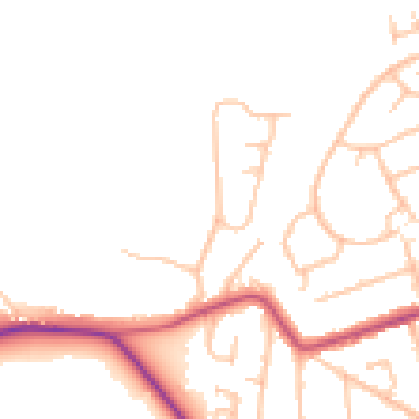
Daytime· 07:00 – 23:00
46.8dB

Night-time· 23:00 – 07:00
39.1dB