15 Bridgnorth Road, Stourton, Stourbridge, DY7 6RP
About 15 Bridgnorth Road
15 Bridgnorth Road is a property in Stourton, Stourbridge, Stourbridge (DY7 6RP). It has council tax band D.
Energy performance
No EPC on record
This property doesn't have an Energy Performance Certificate yet. An EPC is required to sell or let — and unlocks our automated valuation.
Planning history
No planning applications are recorded against 15 Bridgnorth Road, Stourton, Stourbridge, DY7 6RP. The full report also covers planning activity across the surrounding area.
Sales history & valuation
No sales recorded with HM Land Registry
That can mean the property has never traded since the registry began publishing in 1995, was a new build that hasn't been registered yet, or is held in the same hands long-term.
Median price across the last 5 sales in DY7 6RP: £410,000 (2021–2016).
Nearby sales in DY7 6RP
27 Bridgnorth Road, Stourton, Stourbridge, DY7 6RP
Sold Nov 2021
£485,0007 Bridgnorth Road, Stourton, Stourbridge, DY7 6RP
Sold Feb 2021
£410,00011 Bridgnorth Road, Stourton, Stourbridge, DY7 6RP
Sold Oct 2020
£295,00017a, Bridgnorth Road, Stourton, Stourbridge, DY7 6RP
Sold Oct 2019
£493,00023a, Bridgnorth Road, Stourton, Stourbridge, DY7 6RP
Sold Sept 2016
£402,000
Similar properties nearby
1 Barratts Coppice Cottage, Bridgnorth Road, Stourton
DY7 6QY
1 Beech Close, Kinver
DY7 6LW
1 Brockleys Walk, Kinver
DY7 6JT
1 Castle Gardens, Castle Street, Kinver
DY7 6EL
1 Castle Street, Kinver
DY7 6EL
1 Cedar Gardens, Kinver
DY7 6BW
1 Cedar Grange, Enville Road, Kinver
DY7 6BN
1 Cedar Vale, Kinver
DY7 6FB
The neighbourhood at a glance
Crime
3/mo
Steady year-on-year across the wider district.
Nearest stop
0.1 km
Stourton Crescent — bus stop.
Closest school
1.9 km
Ridgewood High School. 9 schools nearby.
Road noise across the postcode
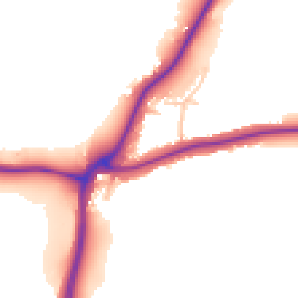
Daytime· 07:00 – 23:00
51.0dB
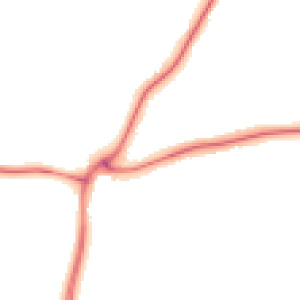
Night-time· 23:00 – 07:00
43.6dB