10 Andrew Road, Tipton, DY4 0AW
About 10 Andrew Road
10 Andrew Road is a semi-detached house in Tipton (DY4 0AW). It has a recorded floor area of 74 m² (around 797 sq ft), construction records dating it to 1950-1966 and council tax band C. The latest certificate (May 2024) shows a C (score 69), just inside the C band. The recommended improvements would push it to B (score 85).
A recent sale: £175,277 in May 2025. Today's modelled estimate of £234,000 is 33.5% above the 2025 sale price. On a £-per-square-foot basis, the last sale (£220/sq ft) was about 25.4% above the typical sold price in the postcode. At 74 m² it's 27.5% smaller than the typical home in the postcode (102 m² median across 9 EPCs).
Know exactly what you're buying at 10 Andrew Road
Before you offer, see what the listing won't tell you, the true value, the red flags and the full history.
Valuation
against the asking price
Risks
planning & flood
Sold prices
similar homes nearby
Trends
the local market
Energy performance
EPC Rating
Planning history
10 Andrew Road has no planning applications on record.
The full report still covers planning activity across the surrounding area.
Sales history & valuation
10 Andrew Road valuation sits well clear of the typical sold price in this postcode.
£234,000
Modelled from EPC, postcode comparables.
£175,277
Recorded with HM Land Registry.
Sales timeline
1 May 2025Most recent
£175,277
Median price across the last 5 sales in DY4 0AW: £170,000 (2024–2021).
Everything we know about 10 Andrew Road, in one report
What it's really worth, what could be wrong, and the planning, sales and area data in full.
- Am I paying too much?
- Is something wrong with it?
- Is the agent's story true?
- Will it hold its value?

Versus other Andrew Road homes
10 Andrew Road outperforms the street on price per m² by a wide margin.
Price per m²
£2,369
Street avg £1,793
Floor Area
74 m²
Street avg 97 m²
Habitable Rooms
4 rooms
Street avg 5 rooms
CO₂ Emissions
2.8 t/year
Street avg 4.7 t/year
Similar properties nearby
The neighbourhood at a glance
Rail-style transport is unusually close for this postcode.
Crime
13/mo
Rising year-on-year across the wider district.
Nearest stop
0.9 km
Bradley Lane (West Midlands Metro) — subway entrance.
Closest school
0.1 km
Wednesbury Oak Academy. 38 schools nearby.
Go deeper on the local area
The full report breaks down crime, transport links, schools and air quality in depth.
Road noise across the postcode
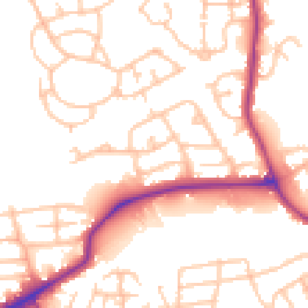
Daytime· 07:00 – 23:00
52.6dB

Night-time· 23:00 – 07:00
42.5dB