13 Beacon Lane, Dudley, DY3 1ND
About 13 Beacon Lane
13 Beacon Lane is a mid-terrace house in Dudley (DY3 1ND). It has a recorded floor area of 81 m² (around 872 sq ft), construction records dating it to 1950-1966 and council tax band A. The latest certificate (July 2014) shows an E (score 53), well below the UK norm with real room to improve. The recommended improvements would lift it to C (score 80), a 2-band jump. The latest certificate is from July 2014, so improvements made since then won't be reflected.
At 81 m² it's 17.3% smaller than the typical home in the postcode (98 m² median across 4 EPCs). It lags the bulk of the postcode on energy efficiency (less efficient than 75% of similar EPCs). Last changed hands 10 years ago, in January 2016. Across 2009–2016, sale prices on this property compounded at 0.6% per year. Today's modelled estimate of £171,000 is 42.5% above the 2016 sale price.
Everything you need to know about 13 Beacon Lane
The true value, the hidden risks and the full sale history, in one report.
30-day money-back guarantee

The data behind every report


Energy performance
Recommended upgrades on file would lift this property by multiple EPC bands.
EPC Expired
This certificate is over 10 years old and is no longer valid.Expired 22 Jul 2024
EPC Rating
Planning history
13 Beacon Lane has no planning applications on record.
The full report still covers planning activity across the surrounding area.
Sales history & valuation
£171,000
Modelled from EPC, postcode comparables and a sale-price growth of 0.6% per year over 7 years.
£120,000
Growth on file: 0.6% per year over 7 years.
Sales timeline
20 January 2016Most recent
£120,000
+4.3%over 6 years3 March 2009
£115,000
Median price across the last 2 sales in DY3 1ND: £115,000 (2023–2005).
Versus other Beacon Lane homes
On habitable rooms, 13 Beacon Lane stands well clear of the street.
EPC Rating
53 (E)
Street avg 61 (D)
Floor Area
81 m²
Street avg 92 m²
CO₂ Emissions
4.8 t/year
Street avg 4.4 t/year
Habitable Rooms
5 rooms
Street avg 4 rooms
Everything you need to know about 13 Beacon Lane
The true value, the hidden risks and the full sale history, in one report.
30-day money-back guarantee
The data behind every report
Similar properties nearby
The neighbourhood at a glance
Daytime road noise here sits well below conversation level — a quiet pocket of the postcode.
Crime
6/mo
Steady year-on-year across the wider district.
Nearest stop
2.0 km
Coseley Rail Station — railway station.
Closest school
0.5 km
Queen Victoria Primary School. 25 schools nearby.
Go deeper on the local area
The full report breaks down crime, transport links, schools and air quality in depth.
Road noise across the postcode
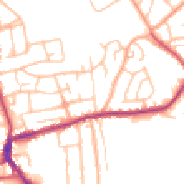
Daytime· 07:00 – 23:00
49.7dB

Night-time· 23:00 – 07:00
40.7dB