13 Littleworth Avenue, Dudley, DY1 4JX
About 13 Littleworth Avenue
13 Littleworth Avenue is a three-bedroom semi-detached house in Dudley (DY1 4JX). It has a recorded floor area of 84 m² (around 904 sq ft), construction records dating it to 1930-1949 and council tax band B. The latest certificate (October 2018) shows a C (score 70). The recommended improvements would push it to B (score 86).
Today's modelled estimate of £216,000 sits 116% above the 2018 sale of £100,000. Last sale on file: £100,000 in November 2018.
Know exactly what you're buying at 13 Littleworth Avenue
Before you offer, see what the listing won't tell you, the true value, the red flags and the full history.
Valuation
against the asking price
Risks
planning & flood
Sold prices
similar homes nearby
Trends
the local market
What this property has
Inside
- Bedrooms3
- Dining roomYes
- EnsuiteYes
Outside
- DrivewayYes
Building
- Heating systemGas
- RefurbishedYes
Energy performance
EPC Rating
Planning history
13 Littleworth Avenue has no planning applications on record.
Notable planning nearby
2applications of note in the surrounding area
Sales history & valuation
13 Littleworth Avenue valuation sits well clear of the typical sold price in this postcode.
£216,000
Modelled from EPC, postcode comparables.
£100,000
Recorded with HM Land Registry.
Sales timeline
21 November 2018Most recent
£100,000
Median price across the last 5 sales in DY1 4JX: £197,000 (2025–2021).
Nearby sales in DY1 4JX
Everything we know about 13 Littleworth Avenue, in one report
What it's really worth, what could be wrong, and the planning, sales and area data in full.
- Am I paying too much?
- Is something wrong with it?
- Is the agent's story true?
- Will it hold its value?

Versus other Littleworth Avenue homes
13 Littleworth Avenue is notably below the street on floor area.
Price per m²
£1,190
Street avg £1,617
Floor Area
84 m²
Street avg 90 m²
Habitable Rooms
5 rooms
Street avg 5 rooms
CO₂ Emissions
3.2 t/year
Street avg 3.6 t/year
Similar properties nearby
The neighbourhood at a glance
Crime
6/mo
Steady year-on-year across the wider district.
Nearest stop
1.3 km
Coseley Rail Station — railway station.
Closest school
0.5 km
Bramford Primary School. 36 schools nearby.
Go deeper on the local area
The full report breaks down crime, transport links, schools and air quality in depth.
Road noise across the postcode
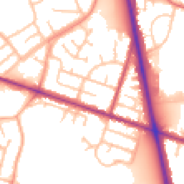
Daytime· 07:00 – 23:00
53.6dB

Night-time· 23:00 – 07:00
45.0dB