7 Bradfield Way, Dudley, DY1 4FD
About 7 Bradfield Way
7 Bradfield Way is an end-of-terrace house in Dudley (DY1 4FD). It has a recorded floor area of 61 m² (around 657 sq ft), construction records dating it to 2007-2011 and council tax band B. The latest certificate (January 2022) shows a C (score 77), near the top of the C band. The recommended improvements would push it to B (score 91).
It lags the bulk of the postcode on energy efficiency (less efficient than 83% of similar EPCs). Across 2011–2022, sale prices on this property compounded at 3.4% per year. On a £-per-square-foot basis, the last sale (£267/sq ft) was about 51.1% above the typical sold price in the postcode. Sold August 2022 for £175,000. That sale was during the post-pandemic price surge, when transactions cleared materially above pre-2020 trend.
Know exactly what you're buying at 7 Bradfield Way
Before you offer, see what the listing won't tell you, the true value, the red flags and the full history.
Valuation
against the asking price
Risks
planning & flood
Sold prices
similar homes nearby
Trends
the local market
Energy performance
EPC Rating
Planning history
7 Bradfield Way has no planning applications on record.
Notable planning nearby
2applications of note in the surrounding area
Sales history & valuation
Latest sale on 7 Bradfield Way was the highest on Land Registry record across the postcode.
£182,000
Modelled from EPC, postcode comparables and a sale-price growth of 3.4% per year over 11 years.
£175,000
Growth on file: 3.4% per year over 11 years.
Sales timeline
25 August 2022Most recent
£175,000
+43.4%over 10 years29 September 2011
£121,995
Median price across the last 5 sales in DY1 4FD: £137,500 (2022–2013).
Everything we know about 7 Bradfield Way, in one report
What it's really worth, what could be wrong, and the planning, sales and area data in full.
- Am I paying too much?
- Is something wrong with it?
- Is the agent's story true?
- Will it hold its value?

Versus other Bradfield Way homes
Price per m² for 7 Bradfield Way runs comfortably ahead of the street norm.
Price per m²
£2,869
Street avg £1,945
Floor Area
61 m²
Street avg 66 m²
Habitable Rooms
3 rooms
Street avg 3 rooms
CO₂ Emissions
1.6 t/year
Street avg 1.3 t/year
Similar properties nearby
The neighbourhood at a glance
Crime
6/mo
Steady year-on-year across the wider district.
Nearest stop
1.3 km
Tipton Road (West Midlands Metro) — subway entrance.
Closest school
0.4 km
Foxyards Primary School. 38 schools nearby.
Go deeper on the local area
The full report breaks down crime, transport links, schools and air quality in depth.
Road noise across the postcode
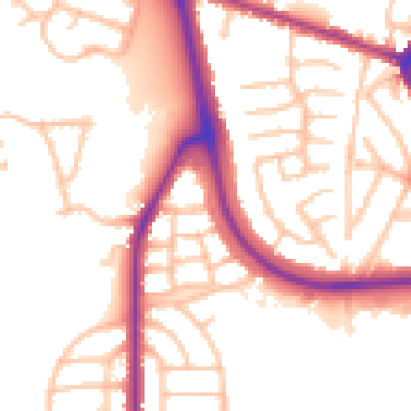
Daytime· 07:00 – 23:00
53.2dB

Night-time· 23:00 – 07:00
44.8dB