26 Abbotsford Drive, Dudley, DY1 2HD
About 26 Abbotsford Drive
26 Abbotsford Drive is a four-bedroom detached house in Dudley (DY1 2HD). It has a recorded floor area of 212 m² (around 2282 sq ft), construction records dating it to 1950-1966 and council tax band D. The latest certificate (April 2022) shows a C (score 72). When first surveyed in September 2008 the rating was F, the property has climbed 3 bands since. Between certificates, wall efficiency went from Poor to Average, roof efficiency went from Poor to Good and window efficiency went from Poor to Good. Other recorded features include a self-contained annexe and attached land beyond the plot. The home occupies a cul-de-sac position.
At 212 m² the property is well over the postcode median (132 m² across 18 EPCs), placing it in the larger end of the local stock. Its energy rating outperforms most of the postcode (better than 83% of similar EPCs). 2 planning records sit against the property, 1 approved, 1 refused. Past consents include an extension, meaningful when judging how the property has evolved. Across 2009–2022, sale prices on this property compounded at 9.9% per year. On a £-per-square-foot basis, the last sale (£230/sq ft) was about 49.7% above the typical sold price in the postcode. Sold July 2022 for £525,000. That sale was during the post-pandemic price surge, when transactions cleared materially above pre-2020 trend.
Know exactly what you're buying at 26 Abbotsford Drive
Before you offer, see what the listing won't tell you, the true value, the red flags and the full history.
Already flagged here
Valuation
against the asking price
Risks
planning & flood
Sold prices
similar homes nearby
Trends
the local market
What this property has
Inside
- Bedrooms4
- Bathrooms2
- Dining roomYes
- EnsuiteYes
- StudyYes
Outside
- Private gardenRear
- GarageYes
- LandYes
- Cul-de-sacYes
Energy performance
26 Abbotsford Drive's carbon output runs well above what efficient homes in the postcode produce.
EPC Rating
Property Improvements
Changes detected from historical EPC data
Heating controls upgraded for better temperature management
Hot water efficiency improved
Windows upgraded, improving insulation
Cavity wall insulation installed
Roof insulation improved
More low energy lighting installed
Planning history
26 Abbotsford Drive has an approved extension on the planning record.
- Apr 2014RenovationFullIn report
Erection of wrought iron fencing and entrance gates to front of dwelling and mix
- Council
- Development Control - North
- Documents
- 13 docs on file
- Reference
- P13/1742
- Jun 2009ExtensionFullIn report
Extensions to existing property to create two storey dwelling
- Council
- Development Control - North
- Documents
- 8 docs on file
- Reference
- P09/0457
We flagged 1 thing worth checking at 26 Abbotsford Drive
Independent checks surfaced things a buyer would want to understand before offering. The report explains each one in full, with the underlying data and what to ask.
- Signs of HMO activity in the area
30-day money-back guarantee
Sales history & valuation
Latest sale on 26 Abbotsford Drive was the highest on Land Registry record across the postcode.
£552,000
Modelled from EPC, postcode comparables and a sale-price growth of 9.9% per year over 13 years.
£525,000
Growth on file: 9.9% per year over 13 years.
Sales timeline
18 July 2022Most recent
£525,000
+250.0%over 13 years18 March 2009
£150,000
Median price across the last 5 sales in DY1 2HD: £227,000 (2025–2020).
Nearby sales in DY1 2HD
Everything we know about 26 Abbotsford Drive, in one report
What it's really worth, what could be wrong, and the planning, sales and area data in full.
What we flagged
- Signs of HMO activity in the area

Versus other Abbotsford Drive homes
EPC Rating for 26 Abbotsford Drive runs comfortably ahead of the street norm.
Price per m²
£2,476
Street avg £1,932
Floor Area
212 m²
Street avg 129 m²
Habitable Rooms
7 rooms
Street avg 6 rooms
CO₂ Emissions
6.6 t/year
Street avg 6.5 t/year
Similar properties nearby
The neighbourhood at a glance
Crime
6/mo
Steady year-on-year across the wider district.
Nearest stop
2.1 km
Flood Street (West Midlands Metro) — subway entrance.
Closest school
0.5 km
Pegasus Academy. 28 schools nearby.
Go deeper on the local area
The full report breaks down crime, transport links, schools and air quality in depth.
Road noise across the postcode
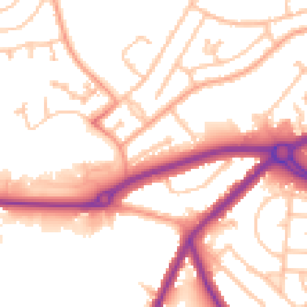
Daytime· 07:00 – 23:00
52.8dB

Night-time· 23:00 – 07:00
43.6dB