6 Almond Grove, Weymouth, DT4 9UH
About 6 Almond Grove
6 Almond Grove is a detached house in Weymouth (DT4 9UH). It has a recorded floor area of 201 m² (around 2164 sq ft), construction records dating it to 1950-1966 and council tax band E. The latest certificate (December 2019) shows a C (score 72).
At 201 m² the property is well over the postcode median (136 m² across 8 EPCs), placing it in the larger end of the local stock. Today's modelled estimate of £641,000 sits 52.6% above the 2020 sale of £420,000. Sold June 2020 for £420,000.
Know exactly what you're buying at 6 Almond Grove
Before you offer, see what the listing won't tell you, the true value, the red flags and the full history.
Already flagged here
Valuation
against the asking price
Risks
planning & flood
Sold prices
similar homes nearby
Trends
the local market
Energy performance
EPC Rating
Planning history
6 Almond Grove has no planning applications on record.
Notable planning nearby
5applications of note in the surrounding area
We flagged 1 thing worth checking at 6 Almond Grove
Independent checks surfaced things a buyer would want to understand before offering. The report explains each one in full, with the underlying data and what to ask.
- Larger development activity nearby
30-day money-back guarantee
Sales history & valuation
The latest sale landed in the post-pandemic price surge — useful context when reading the figure.
£641,000
Modelled from EPC, postcode comparables.
£420,000
Recorded with HM Land Registry.
Sales timeline
8 June 2020Most recent
£420,000
Median price across the last 5 sales in DT4 9UH: £345,500 (2021–2017).
Everything we know about 6 Almond Grove, in one report
What it's really worth, what could be wrong, and the planning, sales and area data in full.
What we flagged
- Larger development activity nearby

Versus other Almond Grove homes
Floor Area for 6 Almond Grove runs comfortably ahead of the street norm.
Price per m²
£2,090
Street avg £2,488
Floor Area
201 m²
Street avg 131 m²
Habitable Rooms
10 rooms
Street avg 6 rooms
CO₂ Emissions
5.6 t/year
Street avg 4.3 t/year
Similar properties nearby
The neighbourhood at a glance
Crime
7/mo
Steady year-on-year across the wider district.
Nearest stop
0.4 km
Mayfield Close — bus stop.
Closest school
0.2 km
Southill Primary School. 13 schools nearby.
Go deeper on the local area
The full report breaks down crime, transport links, schools and air quality in depth.
Road noise across the postcode
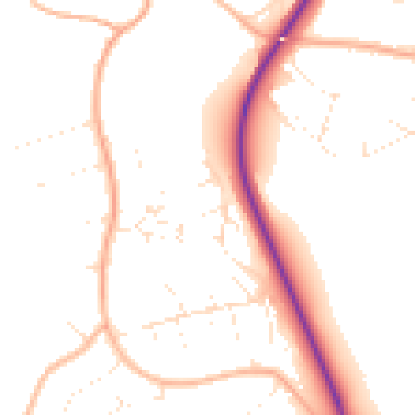
Daytime· 07:00 – 23:00
50.1dB

Night-time· 23:00 – 07:00
40.6dB