9 Cobham Drive, Weymouth, DT4 0ST
About 9 Cobham Drive
9 Cobham Drive is an end-of-terrace house in Weymouth (DT4 0ST). It has a recorded floor area of 78 m² (around 840 sq ft), construction records dating it to 1950-1966 and council tax band C. The latest certificate (April 2025) shows a D (score 68), on the cusp of jumping into the C band. The recommended improvements would lift it to B (score 84), a 2-band jump.
Know exactly what you're buying at 9 Cobham Drive
Before you offer, see what the listing won't tell you, the true value, the red flags and the full history.
Valuation
against the asking price
Risks
planning & flood
Sold prices
similar homes nearby
Trends
the local market
Energy performance
Recommended upgrades on file would lift this property by multiple EPC bands.
EPC Rating
Planning history
9 Cobham Drive has no planning applications on record.
The full report still covers planning activity across the surrounding area.
Sales history & valuation
9 Cobham Drive has no Land Registry sales on file, suggesting it has stayed in the same hands since registration began.
£252,000
Modelled from EPC, postcode comparables.
No sales recorded with HM Land Registry
That can mean the property has never traded since the registry began publishing in 1995, was a new build that hasn't been registered yet, or is held in the same hands long-term.
Median price across the last 5 sales in DT4 0ST: £260,000 (2025–2023).
Everything we know about 9 Cobham Drive, in one report
What it's really worth, what could be wrong, and the planning, sales and area data in full.
- Am I paying too much?
- Is something wrong with it?
- Is the agent's story true?
- Will it hold its value?

Versus other Cobham Drive homes
9 Cobham Drive outperforms the street on habitable rooms by a wide margin.
EPC Rating
68 (D)
Street avg 67 (D)
Floor Area
78 m²
Street avg 82 m²
CO₂ Emissions
2.8 t/year
Street avg 2.9 t/year
Habitable Rooms
5 rooms
Street avg 4 rooms
Similar properties nearby
The neighbourhood at a glance
Daytime road noise here sits well below conversation level — a quiet pocket of the postcode.
Crime
7/mo
Steady year-on-year across the wider district.
Nearest stop
0.1 km
Westhaven — bus stop.
Closest school
0.2 km
Conifers Primary School. 13 schools nearby.
Go deeper on the local area
The full report breaks down crime, transport links, schools and air quality in depth.
Road noise across the postcode
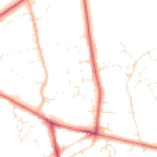
Daytime· 07:00 – 23:00
48.8dB

Night-time· 23:00 – 07:00
39.4dB