5 Brookton Lane, Weymouth, DT3 6QX
About 5 Brookton Lane
5 Brookton Lane is a mid-terrace house in Weymouth (DT3 6QX). It has a recorded floor area of 70 m² (around 753 sq ft), construction records dating it to 1983-1990 and council tax band B. The latest certificate (February 2022) shows a C (score 70). The rating has held steady at C across 2 certificates since January 2011. Between certificates, roof efficiency went from Poor to Good and lighting went from Good to Very Good. The recommended improvements would push it to B (score 86).
Untraded for 30 years, with the last transfer in July 1996. Today's modelled estimate of £220,000 sits 494.6% above the 1996 sale of £37,000. On a £-per-square-foot basis, the last sale (£49/sq ft) was about 71% below the postcode norm.
Everything you need to know about 5 Brookton Lane
The true value, the hidden risks and the full sale history, in one report.
30-day money-back guarantee

The data behind every report


Energy performance
EPC Rating
Property Improvements
Changes detected from historical EPC data
Roof insulation improved
More low energy lighting installed
Planning history
5 Brookton Lane has no planning applications on record.
Notable planning nearby
2applications of note in the surrounding area
We flagged 1 thing worth checking at 5 Brookton Lane
Independent checks surfaced things a buyer would want to understand before offering. The report explains each one in full, with the underlying data and what to ask.
- Larger development activity nearby
30-day money-back guarantee
Sales history & valuation
Latest sale on 5 Brookton Lane was the lowest on Land Registry record across the postcode.
£220,000
Modelled from EPC, postcode comparables.
£37,000
Recorded with HM Land Registry.
Sales timeline
3 July 1996Most recent
£37,000
11 June 1995
£37,000
Median price across the last 5 sales in DT3 6QX: £137,500 (2015–2008).
Versus other Brookton Lane homes
5 Brookton Lane is notably below the street on price per m².
Price per m²
£529
Street avg £1,875
Floor Area
70 m²
Street avg 68 m²
Habitable Rooms
3 rooms
Street avg 4 rooms
CO₂ Emissions
2.3 t/year
Street avg 2.4 t/year
Everything you need to know about 5 Brookton Lane
The true value, the hidden risks and the full sale history, in one report.
30-day money-back guarantee
The data behind every report
Similar properties nearby
The neighbourhood at a glance
Rail-style transport is unusually close for this postcode.
Crime
1/mo
Steady year-on-year across the wider district.
Nearest stop
0.1 km
Merredin Close — bus stop.
Closest school
0.7 km
Bincombe Valley Primary School. 8 schools nearby.
Go deeper on the local area
The full report breaks down crime, transport links, schools and air quality in depth.
Road noise across the postcode
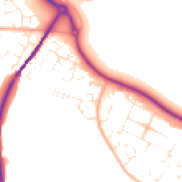
Daytime· 07:00 – 23:00
50.4dB

Night-time· 23:00 – 07:00
41.9dB