13 Albany Road, Doncaster, DN4 0QN
About 13 Albany Road
13 Albany Road is a mid-terrace house in Doncaster (DN4 0QN). It has a recorded floor area of 147 m² (around 1582 sq ft), construction records dating it to 1900-1929 and council tax band A. The latest certificate (August 2016) shows an E (score 53), well below the UK norm with real room to improve. The recommended improvements would lift it to C (score 73), a 2-band jump.
Held since December 1995 — that's 31 years off the open market, well above the local norm. Only one transfer is on record with HM Land Registry, suggesting it has stayed in the same hands for a long time. At 147 m² the property is well over the postcode median (95 m² across 35 EPCs), placing it in the larger end of the local stock. It lags the bulk of the postcode on energy efficiency (less efficient than 83% of similar EPCs). Today's modelled estimate of £126,000 sits 394.1% above the 1995 sale of £25,500. On a £-per-square-foot basis, the last sale (£16/sq ft) was about 77.1% below the postcode norm.
Everything you need to know about 13 Albany Road
The true value, the hidden risks and the full sale history, in one report.
30-day money-back guarantee

The data behind every report


Energy performance
13 Albany Road's carbon output runs well above what efficient homes in the postcode produce.
EPC Rating
Planning history
13 Albany Road has no planning applications on record.
Notable planning nearby
20applications of note in the surrounding area
We flagged 2 things worth checking at 13 Albany Road
Independent checks surfaced things a buyer would want to understand before offering. The report explains each one in full, with the underlying data and what to ask.
- Signs of HMO activity in the area
- Larger development activity nearby
30-day money-back guarantee
Sales history & valuation
13 Albany Road's modelled value sits at over four times its earliest registered sale price (1995).
£126,000
Modelled from EPC, postcode comparables.
£25,500
Recorded with HM Land Registry.
Sales timeline
4 December 1995Most recent
£25,500
Median price across the last 5 sales in DN4 0QN: £99,000 (2025–2024).
Versus other Albany Road homes
On price per m², 13 Albany Road runs well behind the street norm.
Price per m²
£173
Street avg £848
Floor Area
147 m²
Street avg 101 m²
Habitable Rooms
6 rooms
Street avg 5 rooms
CO₂ Emissions
8.3 t/year
Street avg 5.1 t/year
Everything you need to know about 13 Albany Road
The true value, the hidden risks and the full sale history, in one report.
30-day money-back guarantee
The data behind every report
Similar properties nearby
The neighbourhood at a glance
Reported crime in the wider district is trending notably upward year-on-year.
Crime
5/mo
Rising year-on-year across the wider district.
Nearest stop
0.1 km
Balby Road/Alexandra Road — bus stop.
Closest school
0.4 km
Balby Central Primary Academy. 21 schools nearby.
Go deeper on the local area
The full report breaks down crime, transport links, schools and air quality in depth.
Road noise across the postcode
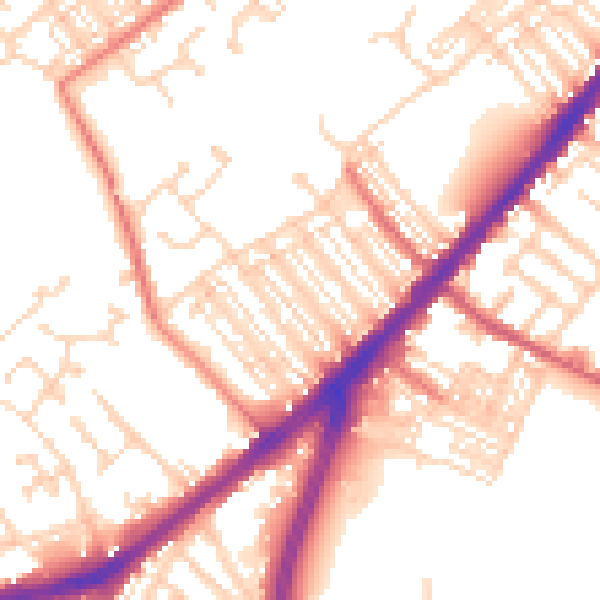
Daytime· 07:00 – 23:00
53.8dB

Night-time· 23:00 – 07:00
44.3dB