Flat, 20 Market Street, Cleethorpes, DN35 8LY
About Flat
Flat is a property in Cleethorpes (DN35 8LY). It has council tax band A.
It hasn't traded since July 2001, a hold of 25 years that's notably long for the area. 2 planning records sit against the property, 2 approved, 0 refused.
Know exactly what you're buying at Flat
Before you offer, see what the listing won't tell you, the true value, the red flags and the full history.
Already flagged here
Valuation
against the asking price
Risks
planning & flood
Sold prices
similar homes nearby
Trends
the local market
Energy performance
No EPC on record
This property doesn't have an Energy Performance Certificate yet. An EPC is required to sell or let — and unlocks our automated valuation.
Planning history
- Dec 2007AmendmentIn report
Retention of an Automated Teller Machine.
- Documents
- 6 docs on file
- Reference
- DC/1304/07/CRB
- Dec 2007AdvertisingIn report
The retention of illuminated sign at ATM
- Documents
- 4 docs on file
- Reference
- DC/1305/07/CRB
We flagged 1 thing worth checking at Flat
Independent checks surfaced things a buyer would want to understand before offering. The report explains each one in full, with the underlying data and what to ask.
- Signs of HMO activity in the area
30-day money-back guarantee
Sales history & valuation
£90,000
Recorded with HM Land Registry.
Sales timeline
22 July 2001Most recent
£90,000
Median price across the last 5 sales in DN35 8LY: £200,000 (2021–2001).
Everything we know about Flat, in one report
What it's really worth, what could be wrong, and the planning, sales and area data in full.
What we flagged
- Signs of HMO activity in the area

Similar properties nearby
1 3, Flat, Grant Street
DN35 8AT
10 12, Flat 1, Sea View Street
DN35 8EZ
10 12, Flat 2, Sea View Street
DN35 8EZ
10a, Flat 3, Sea View Street
DN35 8EZ
13b, Top Flat, Mill Road
DN35 8HZ
15 16, Flat 1, Highcliff Road
DN35 8RQ
15 16, Flat 10, Highcliff Road
DN35 8RQ
15 16, Flat 11, Highcliff Road
DN35 8RQ
The neighbourhood at a glance
Rail-style transport is unusually close for this postcode.
Crime
5/mo
Steady year-on-year across the wider district.
Nearest stop
0.0 km
Market Street — bus stop.
Closest school
0.2 km
St Peter's CofE Primary School. 20 schools nearby.
Go deeper on the local area
The full report breaks down crime, transport links, schools and air quality in depth.
Road noise across the postcode
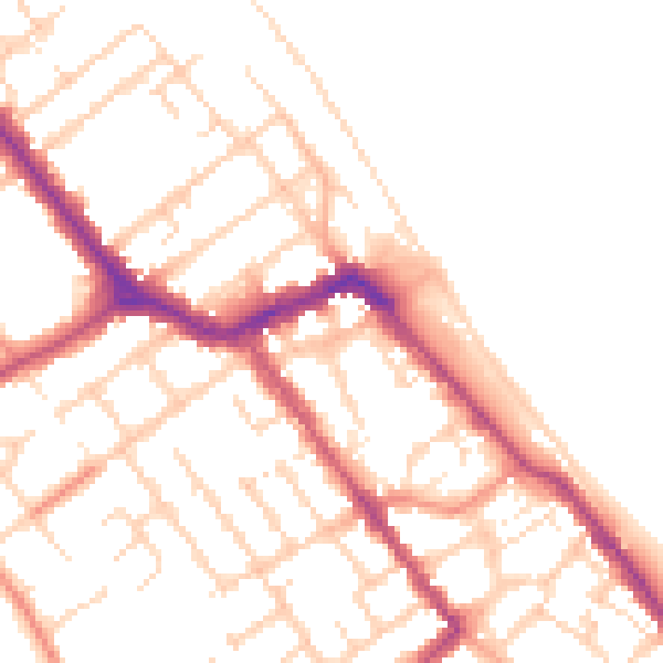
Daytime· 07:00 – 23:00
50.6dB

Night-time· 23:00 – 07:00
41.1dB