6 Norman Crescent, Scunthorpe, DN17 1BH
About 6 Norman Crescent
6 Norman Crescent is a semi-detached house in Scunthorpe (DN17 1BH). It has a recorded floor area of 83 m² (around 893 sq ft), construction records dating it to 1930-1949 and council tax band B. The latest certificate (November 2019) shows a D (score 63), on the cusp of jumping into the C band. The recommended improvements would lift it to B (score 82), a 2-band jump.
Today's modelled estimate of £163,000 is 39.3% above the 2019 sale price. Last sale on file: £117,000 in November 2019.
Know exactly what you're buying at 6 Norman Crescent
Before you offer, see what the listing won't tell you, the true value, the red flags and the full history.
Valuation
against the asking price
Risks
planning & flood
Sold prices
similar homes nearby
Trends
the local market
Energy performance
Recommended upgrades on file would lift this property by multiple EPC bands.
EPC Rating
Planning history
6 Norman Crescent has no planning applications on record.
The full report still covers planning activity across the surrounding area.
Sales history & valuation
6 Norman Crescent's sale-price growth has lagged the wider UK trajectory across its history on file.
£163,000
Modelled from EPC, postcode comparables and a sale-price growth of -0.1% per year over 12 years.
£117,000
Growth on file: -0.1% per year over 12 years.
Sales timeline
29 November 2019Most recent
£117,000
-0.8%over 12 years9 November 2007
£117,950
Median price across the last 5 sales in DN17 1BH: £167,950 (2024–2017).
Nearby sales in DN17 1BH
Everything we know about 6 Norman Crescent, in one report
What it's really worth, what could be wrong, and the planning, sales and area data in full.
- Am I paying too much?
- Is something wrong with it?
- Is the agent's story true?
- Will it hold its value?

Versus other Norman Crescent homes
On price per m², 6 Norman Crescent runs well behind the street norm.
Price per m²
£1,410
Street avg £1,982
Floor Area
83 m²
Street avg 84 m²
Habitable Rooms
5 rooms
Street avg 5 rooms
CO₂ Emissions
4.1 t/year
Street avg 4.0 t/year
Similar properties nearby
The neighbourhood at a glance
Daytime road noise here sits well below conversation level — a quiet pocket of the postcode.
Crime
5/mo
Steady year-on-year across the wider district.
Nearest stop
0.1 km
West Common Lane — bus stop.
Closest school
0.3 km
John Leggott Sixth Form College. 30 schools nearby.
Go deeper on the local area
The full report breaks down crime, transport links, schools and air quality in depth.
Road noise across the postcode
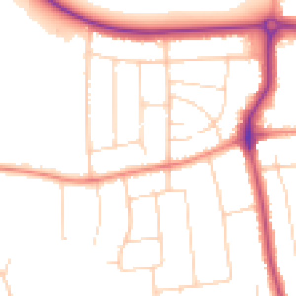
Daytime· 07:00 – 23:00
49.6dB

Night-time· 23:00 – 07:00
40.7dB