9 Church Street, High Etherley, Bishop Auckland, DL14 0HT
About 9 Church Street
9 Church Street is a two-bedroom mid-terrace house in High Etherley, Bishop Auckland, Bishop Auckland (DL14 0HT). It has a recorded floor area of 72 m² (around 775 sq ft), construction records dating it to before 1900 and council tax band A. The latest certificate (September 2022) shows a D (score 60), on the cusp of jumping into the C band. When first surveyed in July 2010 the rating was E, the property has climbed 1 band since. Between certificates, hot-water efficiency went from Poor to Good, lighting went from Average to Very Good and main heating went from Average to Good; while roof efficiency dropped from Average to Very Poor and window efficiency dropped from Good to Average. The recommended improvements would push it to C (score 79).
Across 2002–2024, sale prices on this property compounded at 4.6% per year. Today's modelled estimate of £106,000 is 35.9% above the 2024 sale price. On a £-per-square-foot basis, the last sale (£101/sq ft) was about 17.9% above the typical sold price in the postcode. Last sale on file: £78,000 in September 2024.
Know exactly what you're buying at 9 Church Street
Before you offer, see what the listing won't tell you, the true value, the red flags and the full history.
Already flagged here
Valuation
against the asking price
Risks
planning & flood
Sold prices
similar homes nearby
Trends
the local market
What this property has
Inside
- Bedrooms2
- Bathrooms1
Outside
- Private gardenYes
Building
- Heating systemGas
- RefurbishedYes
Energy performance
EPC Rating
Property Improvements
Changes detected from historical EPC data
Heating controls upgraded for better temperature management
Hot water system upgraded
More low energy lighting installed
Planning history
9 Church Street has no planning applications on record.
Notable planning nearby
2applications of note in the surrounding area
We flagged 1 thing worth checking at 9 Church Street
Independent checks surfaced things a buyer would want to understand before offering. The report explains each one in full, with the underlying data and what to ask.
- Larger development activity nearby
30-day money-back guarantee
Sales history & valuation
9 Church Street has more than doubled in price since the earliest registered sale in 2002.
£106,000
Modelled from EPC, postcode comparables and a sale-price growth of 4.6% per year over 22 years.
£78,000
Growth on file: 4.6% per year over 22 years.
Sales timeline
24 September 2024Most recent
£78,000
+8.3%over 12 years12 July 2012
£72,000
+148.3%over 9 years16 December 2002
£29,000
Median price across the last 5 sales in DL14 0HT: £116,500 (2024–2020).
Nearby sales in DL14 0HT
14 Church Street, High Etherley, Bishop Auckland, DL14 0HT
Sold Jan 2024
£380,0004 Church Street, High Etherley, Bishop Auckland, DL14 0HT
Sold Sept 2023
£109,0003 Church Street, High Etherley, Bishop Auckland, DL14 0HT
Sold Mar 2021
£111,0005 Church Street, High Etherley, Bishop Auckland, DL14 0HT
Sold Feb 2020
£116,5006 Church Street, High Etherley, Bishop Auckland, DL14 0HT
Sold Sept 2019
£35,000
Everything we know about 9 Church Street, in one report
What it's really worth, what could be wrong, and the planning, sales and area data in full.
What we flagged
- Larger development activity nearby

Versus other Church Street homes
9 Church Street is notably below the street on years held.
Price per m²
£1,083
Street avg £1,029
Floor Area
72 m²
Street avg 96 m²
Habitable Rooms
3 rooms
Street avg 4 rooms
CO₂ Emissions
4.3 t/year
Street avg 3.9 t/year
Similar properties nearby
1 Carisbrooke Crescent, Etherley Dene
DL14 0RW
1 Bankwell Drive, High Etherley
DL14 0HF
1 Albion Terrace, Witton Park
DL14 0EL
1 Croxdale Grove
DL14 0SB
1 Baysdale Close
DL14 0RS
1 Bowes Close, Ramshaw
DL14 0NX
1 Church Street, High Etherley
DL14 0HT
1 Church View, High Etherley
DL14 0HS
The neighbourhood at a glance
Reported crime in the wider district is trending notably upward year-on-year.
Crime
4/mo
Rising year-on-year across the wider district.
Nearest stop
0.1 km
Three Tuns West — bus stop.
Closest school
0.2 km
Toft Hill Primary School. 7 schools nearby.
Go deeper on the local area
The full report breaks down crime, transport links, schools and air quality in depth.
Road noise across the postcode
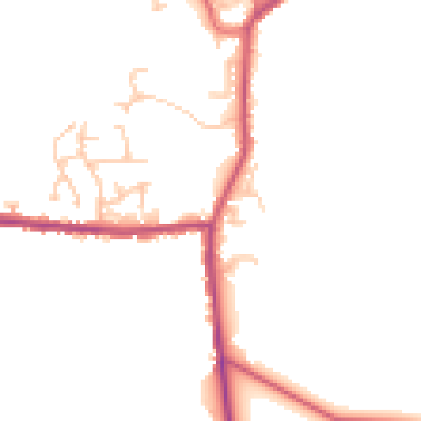
Daytime· 07:00 – 23:00
46.1dB
Night-time· 23:00 – 07:00
38.8dB