19 Atlas Way, Spondon, Derby, DE21 7TT
About 19 Atlas Way
19 Atlas Way is a detached house in Spondon, Derby, Derby (DE21 7TT). It has a recorded floor area of 55 m² (around 592 sq ft), construction records dating it to 1996-2002 and council tax band D. The latest certificate (June 2012) shows a C (score 79), near the top of the C band. The recommended improvements would push it to B (score 83). The latest certificate is from June 2012, so improvements made since then won't be reflected.
It hasn't traded since June 2007, a hold of 19 years that's notably long for the area. That sale landed at the peak of the pre-credit-crunch market, which is a useful reference point when interpreting the price. At 55 m² it sits well below the postcode median (125 m² across 11 EPCs), making it one of the more compact homes locally. Today's modelled estimate of £296,000 is 27.6% above the 2007 sale price. On a £-per-square-foot basis, the last sale (£392/sq ft) was about 111.8% above the typical sold price in the postcode.
Know exactly what you're buying at 19 Atlas Way
Before you offer, see what the listing won't tell you, the true value, the red flags and the full history.
Valuation
against the asking price
Risks
planning & flood
Sold prices
similar homes nearby
Trends
the local market
Energy performance
19 Atlas Way's carbon output is low for the local stock.
EPC Expired
This certificate is over 10 years old and is no longer valid.Expired 21 Jun 2022
EPC Rating
Planning history
19 Atlas Way has no planning applications on record.
Notable planning nearby
3applications of note in the surrounding area
Sales history & valuation
The latest sale landed at the peak of the pre-credit-crunch market — a high-water reference point.
£296,000
Modelled from EPC, postcode comparables.
£232,000
Recorded with HM Land Registry.
Sales timeline
26 June 2007Most recent
£232,000
Median price across the last 5 sales in DE21 7TT: £250,000 (2025–2019).
Nearby sales in DE21 7TT
Everything we know about 19 Atlas Way, in one report
What it's really worth, what could be wrong, and the planning, sales and area data in full.
- Am I paying too much?
- Is something wrong with it?
- Is the agent's story true?
- Will it hold its value?

Versus other Atlas Way homes
Price per m² for 19 Atlas Way runs comfortably ahead of the street norm.
Price per m²
£4,218
Street avg £2,208
Floor Area
55 m²
Street avg 118 m²
Habitable Rooms
4 rooms
Street avg 6 rooms
CO₂ Emissions
1.5 t/year
Street avg 3.0 t/year
Similar properties nearby
1 Chimley Street, Spondon
DE21 7UG
1 Cambridge Street, Spondon
DE21 7PZ
1 Beeches Avenue, Spondon
DE21 7LP
1 Bobbins Lane, Spondon
DE21 7UF
1 Badger Close, Spondon
DE21 7TB
1 Brunswood Close, Spondon
DE21 7LB
1 Arundel Drive, Spondon
DE21 7QX
1 Burnside Drive, Spondon
DE21 7QR
The neighbourhood at a glance
Daytime road noise here sits well below conversation level — a quiet pocket of the postcode.
Crime
3/mo
Steady year-on-year across the wider district.
Nearest stop
0.1 km
Borrowash Road — bus stop.
Closest school
0.6 km
Asterdale Primary School. 13 schools nearby.
Go deeper on the local area
The full report breaks down crime, transport links, schools and air quality in depth.
Road noise across the postcode
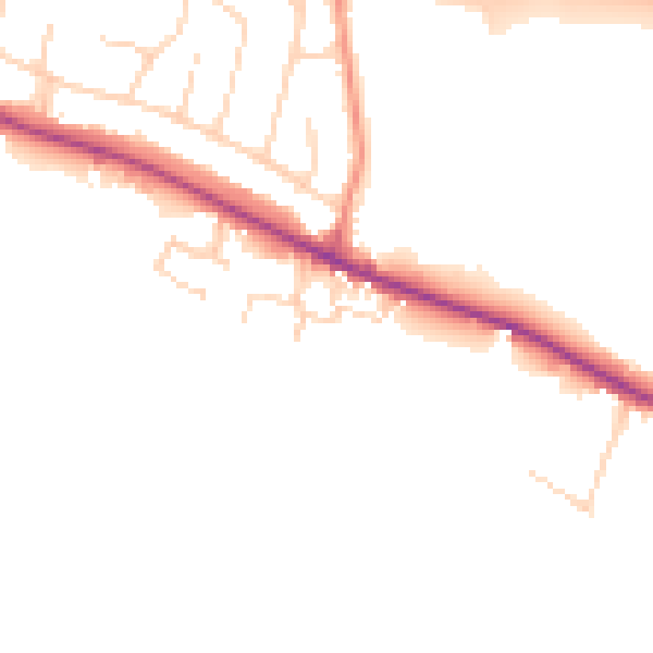
Daytime· 07:00 – 23:00
47.7dB

Night-time· 23:00 – 07:00
39.9dB