27 Burnside Drive, Spondon, Derby, DE21 7QR
About 27 Burnside Drive
27 Burnside Drive is a four-bedroom semi-detached house in Spondon, Derby, Derby (DE21 7QR). It has a recorded floor area of 128 m² (around 1378 sq ft), construction records dating it to 1950-1966 and council tax band B. The property has underfloor heating on record, all of which lower running costs and tend to lift resale appeal. The latest certificate (February 2019) shows a C (score 77), near the top of the C band. The recommended improvements would push it to B (score 86).
At 128 m² the property is well over the postcode median (79 m² across 9 EPCs), placing it in the larger end of the local stock. Across 1999–2023, sale prices on this property compounded at 7.7% per year. On a £-per-square-foot basis, the last sale (£240/sq ft) was about 68.5% above the typical sold price in the postcode. Last sale on file: £330,000 in August 2023.
Know exactly what you're buying at 27 Burnside Drive
Before you offer, see what the listing won't tell you, the true value, the red flags and the full history.
Valuation
against the asking price
Risks
planning & flood
Sold prices
similar homes nearby
Trends
the local market
What this property has
Inside
- Bedrooms4
- Bathrooms2
Outside
- Private gardenRear
- GarageYes
Building
- Underfloor heatingYes
- RefurbishedYes
Energy performance
EPC Rating
Planning history
27 Burnside Drive has no planning applications on record.
Notable planning nearby
3applications of note in the surrounding area
Sales history & valuation
27 Burnside Drive has more than quadrupled in price since its earliest registered sale in 1999.
£352,000
Modelled from EPC, postcode comparables and a sale-price growth of 7.7% per year over 24 years.
£330,000
Growth on file: 7.7% per year over 24 years.
Sales timeline
29 August 2023Most recent
£330,000
+24.5%over 4 years16 June 2019
£265,000
+382.3%over 19 years17 June 1999
£54,950
Median price across the last 5 sales in DE21 7QR: £188,500 (2025–2017).
Nearby sales in DE21 7QR
21 Burnside Drive, Spondon, Derby, DE21 7QR
Sold Jan 2025
£252,50019 Burnside Drive, Spondon, Derby, DE21 7QR
Sold Jan 2025
£330,00023 Burnside Drive, Spondon, Derby, DE21 7QR
Sold Nov 2017
£170,0005 Burnside Drive, Spondon, Derby, DE21 7QR
Sold May 2017
£165,0003 Burnside Drive, Spondon, Derby, DE21 7QR
Sold Sept 2015
£159,950
Everything we know about 27 Burnside Drive, in one report
What it's really worth, what could be wrong, and the planning, sales and area data in full.
- Am I paying too much?
- Is something wrong with it?
- Is the agent's story true?
- Will it hold its value?

Versus other Burnside Drive homes
On epc rating, 27 Burnside Drive stands well clear of the street.
Price per m²
£2,578
Street avg £2,177
Floor Area
128 m²
Street avg 85 m²
Habitable Rooms
4 rooms
Street avg 5 rooms
CO₂ Emissions
3.1 t/year
Street avg 3.7 t/year
Similar properties nearby
1 Atlas Way, Spondon
DE21 7TT
1 Burnside Drive, Spondon
DE21 7QR
1 Brunswood Close, Spondon
DE21 7LB
1 Bobbins Lane, Spondon
DE21 7UF
1 Arundel Drive, Spondon
DE21 7QX
1 Avondale Road, Spondon
DE21 7AW
1 Chapel Lane, Spondon
DE21 7JS
1 Church Mews, Spondon
DE21 7NQ
The neighbourhood at a glance
Crime
3/mo
Steady year-on-year across the wider district.
Nearest stop
0.1 km
Arundel Drive — bus stop.
Closest school
0.3 km
Borrow Wood Primary School. 14 schools nearby.
Go deeper on the local area
The full report breaks down crime, transport links, schools and air quality in depth.
Road noise across the postcode
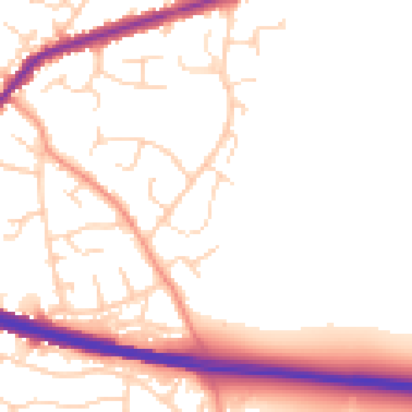
Daytime· 07:00 – 23:00
52.6dB

Night-time· 23:00 – 07:00
43.1dB