23 Charles Avenue, Spondon, Derby, DE21 7AJ
About 23 Charles Avenue
23 Charles Avenue is a property in Spondon, Derby, Derby (DE21 7AJ). It has council tax band B.
It hasn't traded since October 2003, a hold of 23 years that's notably long for the area.
Know exactly what you're buying at 23 Charles Avenue
Before you offer, see what the listing won't tell you, the true value, the red flags and the full history.
Valuation
against the asking price
Risks
planning & flood
Sold prices
similar homes nearby
Trends
the local market
Energy performance
No EPC on record
This property doesn't have an Energy Performance Certificate yet. An EPC is required to sell or let — and unlocks our automated valuation.
Planning history
23 Charles Avenue has no planning applications on record.
Notable planning nearby
3applications of note in the surrounding area
Sales history & valuation
£127,000
Recorded with HM Land Registry.
Sales timeline
31 October 2003Most recent
£127,000
Median price across the last 5 sales in DE21 7AJ: £262,000 (2023–2021).
Nearby sales in DE21 7AJ
10 Charles Avenue, Spondon, Derby, DE21 7AJ
Sold Dec 2023
£280,00026 Charles Avenue, Spondon, Derby, DE21 7AJ
Sold Aug 2023
£262,0007 Charles Avenue, Spondon, Derby, DE21 7AJ
Sold Apr 2022
£310,00018 Charles Avenue, Spondon, Derby, DE21 7AJ
Sold Apr 2021
£250,00024 Charles Avenue, Spondon, Derby, DE21 7AJ
Sold Feb 2021
£253,000
Everything we know about 23 Charles Avenue, in one report
What it's really worth, what could be wrong, and the planning, sales and area data in full.
- Am I paying too much?
- Is something wrong with it?
- Is the agent's story true?
- Will it hold its value?

Similar properties nearby
1 Arundel Drive, Spondon
DE21 7QX
1 Burnside Drive, Spondon
DE21 7QR
1 Avondale Road, Spondon
DE21 7AW
1 Chapel Lane, Spondon
DE21 7JS
1 Badger Close, Spondon
DE21 7TB
1 Bobbins Lane, Spondon
DE21 7UF
1 Cambridge Street, Spondon
DE21 7PZ
1 Chimley Street, Spondon
DE21 7UG
The neighbourhood at a glance
Daytime road noise here sits well below conversation level — a quiet pocket of the postcode.
Crime
3/mo
Steady year-on-year across the wider district.
Nearest stop
0.3 km
Royal Hill Road — bus stop.
Closest school
0.3 km
Springfield Primary School. 16 schools nearby.
Go deeper on the local area
The full report breaks down crime, transport links, schools and air quality in depth.
Road noise across the postcode
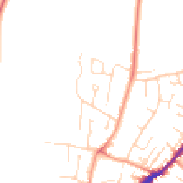
Daytime· 07:00 – 23:00
46.4dB

Night-time· 23:00 – 07:00
37.3dB